The continuing story of a Fat Man, gone to the bush

Tag: Mini-Hike

Mini-Hike: Taranaki Falls (Tongariro National Park)

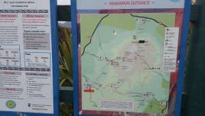
Taranaki Falls Sign

Taranaki Falls Sign

I am a little slack in posting this, as a did the walk a few weeks back now on Saturday 6th February.  Once again this was at the Tongariro National Park, but only a short walk really of a couple of hours.  What made this walk unique is that I had some quite painful blisters.  I accumulated these particularly blisters on the Thursday before.  I had been pushing my walking quite hard because I had got some mad idea into my brain about knocking off 2000 km in total before I did the Milford Track, which would necessitate a 12 km per day total every day until the walk.

My feet had other ideas.

So come the Saturday morning, I was quite sore.  This however did not deter me.  I put on my Compeed® blister thingies, strapped my feet with adhesive strapping tape, and stuffed my socks with hiker’ wool, and double socked it all – then proceeded on my merry.

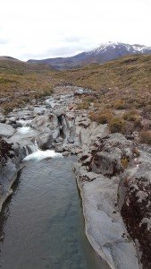
Above Taranaki Falls

Above Taranaki Falls

Today I was walking once again with my sister and walking buddy from previous posts.  The Taranaki falls is actually a loop track starting at the Chateau / Whakapapa Village, and heads to a nice water fall, and loops back around.  Most of the track I had actually walked before. The first bit was the end of the walk I did on Boxing Day,  and the end of it was the beginning of the walk I did at Queen’s Birthday Weekend.  So there were no surprises.

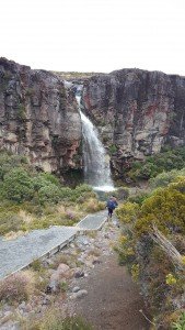
Down to Taranaki Falls

Down to Taranaki Falls

The walk was actually well worth it.  I pushed myself through the pain as this is what I will have to do on the Milford Track, I can’t bail out just because I get a few dozen blisters.  Although at the end of it I was starting to question my sanity.  I was also happy that it didn’t slow me down too much.

And the scenery was really quite stunning.  So I am just posting this to show off some more photos really.

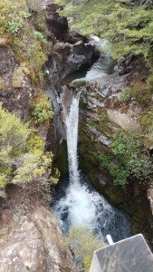
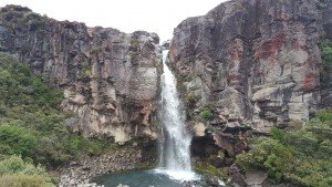
Taranaki Falls

Taranaki Falls

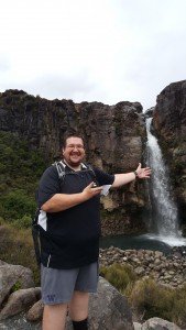
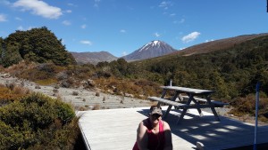
Me at Taranaki Falls

Me at Taranaki Falls

Joking aside, I am beginning to worry about this whole walking thing.  My feet, knees, and everything seems to be protesting at the moment.  It could quite possibly be the dumbest exercise I have ever embarked on.  There is really only 5½ weeks left until the walk.  I don’t think I can improve my fitness markedly in those weeks, and I don’t think I am fit enough to get to the “I enjoy it” goal I was shooting for.  And I only have myself to blame.  I was doing well, but the past few months I have been slackening off.  Now i am in a holding pattern just trying not to hurt myself and to take care of my feet.

Little Waterfall

Little Waterfall

Speaking of which, I will have a special “Foot-centric” post coming soon.  That will be something for you to look forward to . . .

Mini-Hike: Boulder Hill (revisited) and the Dry Creek Loop Track – Belmont Regional Park

The other week on Wellington Regional Anniversary weekend (Monday 25th January), I decided to walk back up Boulder Hill as it had been 9 months since I first went up that hill and wanted to see how I feared now that I had been on this walking lark for the past 10 months (10 months!  Man how time flies!).  This time I took a friend with me (the same friend that went on the Rimataka Incline walk with me on New Years Eve).  

We set off about mid mourning, I won’t be going into great detail on the ascent as that can be read about in my previous posting on this walk.  But I did find the walk up a lot easier than the last time.  The first section of 4wd track I did without really much effort at all, and didn’t actually need to stop for a rest for the entire ascent, which took us 1 hr 20 mins.  I was quite happy with that effort actually.  It was quicker than last time which took about 1 hr 40 mins.  We only paused for a brief rest (no sandwiches this time, i’m a serious walker now, not a picnic-er) and time to pose for photos and we were off down the hill.

Me at the to of Boulder Hill

Me at the to of Boulder Hill

Once again, I was pretty happy with the initial descent as my knees were not hurting at all really.  My feet were, and my blisters were coming back.  But we stopped at the park bench where the Boulder Hill track meets the “Dry  Creek Loop” track.  There I put on my new remedy for blisters – Hiker’s Wool – which is basically just a slightly washed sheep wool you stuff in your sock next to the area that is rubbing and hurting, and it stops it rubbing and hurting.  Simple, but brilliant and effective.  I’ve been using it a lot since then.  The only other pain I was having was from my black toe, courtesy of my previous walk up the Rimataka Incline.

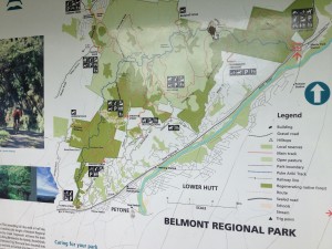
It was at this point we made a slightly ill advised decision.  Drawing on my vague memory of the park map, and making a best guest, I asked my companion if she would like to turn off here and return via the Dry Creek Loop track.  Thinking that it would be the same distance and difficulty as what we came up.

She foolishly agreed with my suggestion and off we went.

It wasn’t the same length, it was 3 km longer.

It wasn’t the same difficulty, there were some significant hills and declines on the way.

I was not impressed with myself.  It was a hot day.  I hadn’t packed snacks (although luckily had enough water), and my friend was just getting over a cold (and as it turns out, had an infection). 

Although she is much fitter than I am, she started to feel pretty ill and faint as we progressed further and further along.  She did an amazing job actually, as me in the same position would have been in tears.  It did make me kick myself for making such a rookie mistake as taking an unfamiliar path.  But we made it out no harm or foul, so all’s well that ends well.

Belmont Regional Park Map

Belmont Regional Park Map

Overall though I am pretty happy with how I managed the walk.  Besides the frustration of going sideways when I thought we were going forward, and making a poor route decision, I managed the track, hills, and declines well.  Much better than 9 months ago.

It is now only 2 months until I do the Milford Track.  I feel my fitness is coming along well.  I am now picking up the effort in my walking and trying to try hard at the dieting.   I worry about my stamina on prolonged and steep uphills. But although I may struggle, I do recover quickly once the hill is over, or I stop for a breather. Which does give me confidence that I can cope with what the Milford Track will throw at me.

I need to turn my mind again to equipment and clothing for the walk, as I am not happy with some of the things I have.  But that is the fun part.

Mini-Hikes: Rimutaka Incline

Over the past few weeks I have walked the Rimutaka Incline not once, not twice, but thrice! (Cue the applause)

Start of Rimutaka Incline

Start of Rimutaka Incline

The first expedition was on New Year’s Eve.  A friend and I decided to do the full Rimutaka Incline, starting from the Kaitoke (Wellington) end and heading over to the Wairarapa side at Cross Creek.  After an initial round of car juggling to ensure we had one car at the end of the track to bring us back, we set off at around 9:00 am.

The Rimutaka Incline (for those not familiar with it) is the path over the Rimutaka Ranges which separates The Wellington and Wairarapa regions.  It was carved out as a railway and was used by fell engines as a link between Wellington and the rest of the country. Although it was a steep route for trains, it is quite a gentle grade to walk.

The walk was actually drama free.

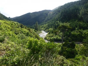
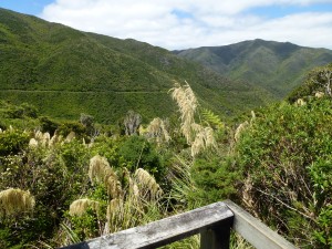
View on way up

View on way up

It’s a nice wide and smooth trail which has no major changes to the gradient.  It follows a river along and has nice tunnels and bridges and overlooks some lovely landscape.  We got to the summit in just over 2 hours and had a brief picnic before heading off again, through the longest of the tunnels at the summit then on to the steady descent.

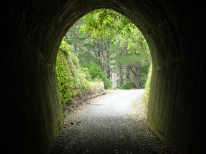
A tunnel on Rimutaka Incline

A tunnel on Rimutaka Incline

The path on the Wairarapa side is a bit steeper I think and there is one bit where the old bridge is long since washed out and you have to actually walk down the shallow gorge and up out the other side, but besides that the only drama to be had was once we reached the end at Cross Creak.

Someone had vandalised the sign which pointed to the path out and we continued on straight until we came to a barrier fence and a sign saying “Private Property”.

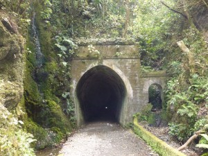
Rimutaka Summit Tunnel

Rimutaka Summit Tunnel

We weren’t the only one confused as a couple of cyclists were also scratching their heads as to the way to go.  But thorough a process of elimination we realised we needed to follow the much more narrow path out for about 30 minutes.

So in total the crossing was about 20 km (according to my GPS, the signs said 17 km – but they were wrong) and took us 4 hours 4 minutes to walk it (not including rest stops).  Actually we only stopped to rest once at the summit.

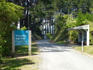
Rimutaka Rail Trail

Rimutaka Rail Trail

Psychologically this was a major milestone for me.  I had attempted to walk to the summit on a previous occasion years ago, but couldn’t make it and turned back (it turns out we were only about 1.5 km from the summit but didn’t know it).  And ever since it has been a bit of a barrier to me, thinking that I couldn’t do this walk.  So to knock the bastard off and in relative ease was very liberating.

Since New Year’s Eve I have done the Rimutaka Incline twice more.  Once on 12 Jan ’16, where I went after work and walked almost to the summit and back, 16 km (12 Jan ’16 holds The Plan™ record

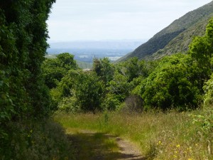
View of Wairarapa

View of Wairarapa

for longest distance, clocking up 26.5 km of walking), and then again on 17 Jan ’16 where we walked to summit and back, which was 22 km.

Exit of Rimutaka Incline

Exit of Rimutaka Incline

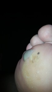
That last walk as really given me some concerns.  I have come out of that with some significant blisters, an occurrence which seems to be becoming more prevalent. I got blisters on the Waihohonu walk, and again on 12th January effort.  But nothing as bad as these babies, which are most painfully on the balls of my feet.  I need to develop some anti-blister strategies or my Milford Crossing could become painfully undone.  Also I have been suffering more foot pain over the past month.  I saw my doctor about it, thinking it is probably my gout playing up, but he thought what I described was more like arthritis.  So he sent me for blood tests and x-rays, then texted me this text when he got the results “xray normal, bloos so far all negative for arthritis.  Dare I say it, just the weight when exercising” . . . charming.

Nasty Blister - poor me.

Nasty Blister – poor me.

So quick progress update.  So far I have walked 1301.4 km in 299 hours 50 minute.  Weight is remaining constantly heavy.

Mini-Hike: Desert Road to Whakapapa Village via Waihohonu Hut

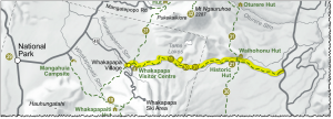
On boxing day last year (26/12/2015for those unfamiliar with the term) I had planned with my sister and brother to do the walk from the Desert Road across to Whakapapa Village (where the historic Managatepopo walk started all those months before), walking between Mounts Ruapehu and Ngauruhoe.

Originally I was wanting to do an overnight walk by myself on Boxing day, starting at Whakapapa Village and walking to the Waihohonu hut, overnight there, then walk back.  But the hut was mostly fully booked by the time I came to look at it, so changed plans.  We chose to walk this direction because, as a one way walk, we would need to be dropped off and picked back up, and going this way meant we were walking towards cafes rather than away from them.

The route was long, and the day was really hot.  Although I packed in about 2 litres of water with me, by the end of it I was starting to worry I would run out.  But didn’t.

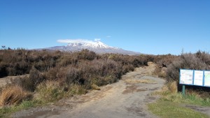
Waihohonu Track

For the most part this track was beautifully well maintained.  A good distance of it is also a well-used track to the Tama Lakes which is a popular tourist walk about 5 hours round trip from Whakapapa Village.  It was nothing like the Mangatepopo track which even the DOC ranger we spoke to said was terrible. She was saying that it needs to be completely rebuilt as it is too far gone for maintenance to fix it.  I am glad I am not alone in my appraisal of that track (I was worried I was just a fat whiner).

Track Start

Track Start

There is not really much to say about the walk itself, as it was completely drama free.  And let’s face it, it is the drama, whining, complaining, and general moaning that make these blogs remotely enjoyable.

Walking with my brother and sister was interesting.  I did get a perverse joy from hearing the few complaints that they made.  Mostly my sister was grumbling that I didn’t stop for a rest often enough (I did every hour, thank you!), she has relegated me to the same position held by her husband in the “walking without stopping” ranks, which I kind-of take as a compliment.

Andrea at Waihohonu Hut

Andrea at Waihohonu Hut

I also took a great deal of satisfaction on seeing my brother struggle with the up-hills.  Historically my brother has always been fitter and thinner than me, although he has let himself go . . . a lot . . . in the past couple of decades, he is probably still fitter, and he is definitely faster at walking than I am.  But looking back and seeing him doubled over with his hands on his knees on some of the longer up-hill stretches was immensely satisfying.  Does that make me a bad person?

To add insult to exhaustion there was a side trip (10 minutes each way) to the Lower Tama lake which I wasn’t that keen on doing as we walked the four hours from the start to where the track diverts to Tama Lakes.

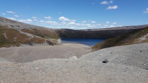
Lower Tama Lake

Lower Tama Lake

However when we did arrive at the junction I was a slight bit ahead of my siblings (we had just walked up an incline and they were recovering while I walked on) so I waited there for them.  When they got there we had a discussion about whether we should do the side trip.  They were dead against it, so now I really wanted to do it.  So they waited there and I walked to the lakes.  It was awesome.

So I was fairly well pleased with how that walk went.  I believe it is the single longest walk that I have ever done, clocking in at just over 25 km (taking about 6.5 hours) it is easily longer (distance wise) than anything that I will encounter on the Milford Track (the longest day on that walk being 18 km).  This walk also demonstrated to me how far I have come since March 2015 when I first started on this endeavour.

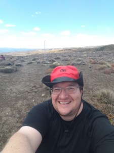
Hike Selfie

Hike Selfie

I’m still alive!

Ok so it has been a wee while since my last posting. I am sure that both of my readers are worried sick about what is going on with me: “Has he quit!” they might decry, “Did he fall off a steep cliff and is rotting down a gully in some far flung remote part of New Zealand?” they might fret.

Well, fret not! I have not died yet. And I try and stay as far from remote New Zealand as I can (the whole reason for this blog aside . . . ), no, I have just been slack (another recurring theme in this blog).

The Plan™ has been interrupted somewhat in the past few months. Had a business / leisure trip to Europe, a birthday, and Christmas / New Years which have been in the way. I have determined that it is nearly impossible (for me) to maintain a healthy diet in the face of all that Christmas has on offer. And it is just ludicrous to even think about any sort of Plan™ when you are on holiday.

But not all was lost. I have maintained a modest activity schedule through it all. And I had a mini-hike while in Germany at the Black Forest.

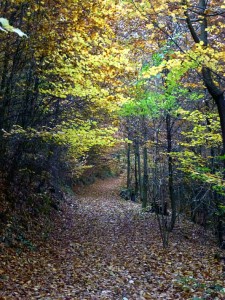
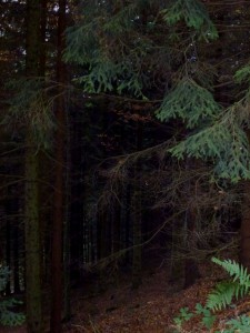
That was a great little walk actually. I was visiting a funicular railway up a hill (they called it a mountain, I laugh!) at Baden Baden in Germany, but I arrived about an hour before the railway opened.  There were a number of signs up for walks around the mountain, so thought I could pass the time by walking a little along some of them, so set off on a clear but brisk autumn morning.  The further along I got the more I was enjoying it, so stopped and got into my serious walking shorts and shirt (which I conveniently had in my bag).  And then proceeded to shanksnag it .  I darted off down a side path which was sign-posted in German so I really had no idea where I was going.  But the path looked neat, it was littered with fallen leaves and the trees were all dabbled yellows and golds, I half expected to walk around a corner to find a small cottage made of gingerbread.  But what I did find was a bridge over the top of the railway, which is when I realised I had half climbed the mountain (actually only 1/4 climbed it I would find, but still good).  So I determined to carry on.

Black Forest

Black Forest

The path rose steadily onwards and upwards, a bit steep in some places, but overall not too bad.  The path left the deciduous trees behind and soon I was walking through a conifer forest, which was actually quite dark, so lived up to its name.

Blacker Forest

Blacker Forest

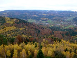
At the top the views were fantastic, looking out down a number of valleys which were filled with the quaint town of Baden Baden.  On hills around I could see the ruins of old castles and watchtowers.  The best part was that there was a cafe where I could congratulate myself on not being a completely lazy git.

One of the views from the top

One of the views from the top

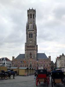
Actually on the week or so that I was tourist-ing around Germany, Belgium, and the Netherlands I was quite happy with my fitness which enabled me to get out and do a lot of walking around towns and tourist attractions.  Another feat I was particularly happy with was climbing the belpre at the Brugge town hall.  This was a significant and steep windy staircase, the going down much more nerve wracking and stressful than the going up.  But it was well worth the effort.

Bruge Bell Tower

Bruge Bell Tower

The only day that defeated me physically was when I was at the Van Gough museum, which involved a lot of standing around and tourist shuffling.

Looking at my log of walking though, I have now surpassed 1000 km, I actually achieved this back in November, but it is still an achievement.  The tally to date stands at: 1216.2 km walked in 281 hours 58 minutes.  Which adheres to The Plan™ at about 99%.

Weight loss is not so great, I have put on 7 kg in the past three months since I went to Rarotonga.  I suppose it could have been worse.

There is now only 3 MONTHS until the Milford Track.  I don’t feel prepared at all really.  I have come along way, but now is the time to really knuckle down and get some decent preparation in.  I still want to lose another 21 kg to reach the 50 kg lose target I set so long ago.  And I will set myself increasingly difficult daily walking goals to increase my aerobic exercise.

I have no time to lose!

Mini-Hike: Rarotonga Cross Island Track

I have actually been able to keep myself quite active while on Holiday.  The first proper day here (24th September) I did a 7 km walk (clockwise) along the road and got a good feel for the area around the resort.  I picked up a tourist map later on that day and noticed a few hikes on the island.  I already knew about the Cross-island Track, but there was one closer to the resort called the Avana Valley Road.  I asked the lady at reception about it and was told there was nothing really there, but decided to have a look anyway.
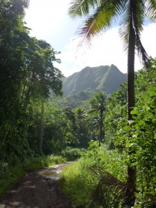
Avana Valley Road walk

Avana Valley Road walk

It was a pleasant enough walk, just along a road next to a stream.  I followed it for about 3.5 km then turned back when I got to a stream crossing I couldn’t accomplish without getting my feet wet.

One of the nice things about walking in Raro is that you never seem to do it alone.  There are dogs everywhere who are super friendly and just start walking with you.  I had two dogs accompany me up Avana Valley, and every morning I have walked along the beach with a dog walking along beside.  Company at the cost of a friendly pat.
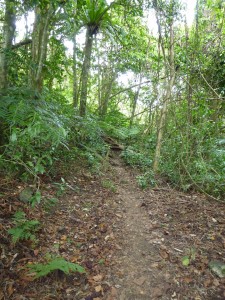
The start of the Across Island Track

The start of the Across Island Track

Yesterday (25th September) I decided to do the Cross-Island Track.  I was told it was about 4 hours, and seeing as the morning guided snorkel had been cancelled due to strong currents, and we had a car to get me to the start of the track, I decided to give it a go.

As we drove up to the start of the track I looked at the rugged and steep terrain with some trepidation.  But figured that the track wouldn’t go up those mountains, it would go between them.  Wrong.

I got off to an ominous start by walking up someones driveway rather than the private road leading to the track.  Oops.  Once back on track I was pretty happy; the road was a gentle grade, the weather was pleasant, life was good.  I got into the jungle not too far along and the track got narrower and there were several fallen trees I had to scramble under, but so far so good.  Then the climb started.

Actually the climb wasn’t too bad.  It was steep.  Very steep.
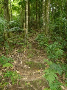
Staircase formed by tree roots

Staircase formed by tree roots

I climbed up about 450m in the space of about 900 m distance, so that is a decent incline.  But it was made easier because the climb up was basically a staircase made of tangled tree roots.  But after about 2 km and 1 hour walking I was at the saddle.  There was a path leading to the Needle (a large monolith which had been a dominant sight for a while), and the path leading down and out.  I met another couple walking down from the Needle and asked them about it.  It was only 200m further to the Needle, and not too steep.  I asked about the track down.  I had gotten anxious on the way up about how steep the descent would be, and I hate going down.   They had walked a bit of it the day before, but turned back as the recommended route was North to South, and the path from the south is much steeper.  Bugger.

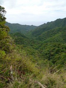
The view from the Needle was stunning, you could see both sides of the island, looking down the valley I had just climbed up, then over to the hell i was about to endure.  And I was kept company on the path up to the Needle by a couple of roosters.  There is always an animal to follow you around in Rarotonga.
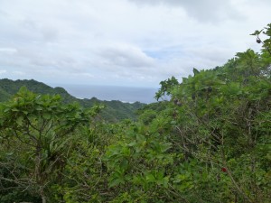
The view to the end of the walk South from the Needle
The view to the end of the walk South from the Needle

The view down the valley the track climbed to The Needle

The view down the valley the track climbed to The Needle


With some dread I started the descent from the saddle.
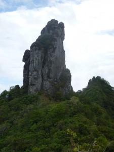
Looking back at The Needle at start of descent

Looking back at The Needle at start of descent

It turned out I still had some way to climb before I started down, but the down came, hard and fast.  I looking down the path I could see I started to seriously question my life decisions that had lead me to this point.  But figured if I did it slowly and carefully, using the classic Jordan technique of sitting down and sliding down steeper bits rather than try and step down I would be alright (I can’t fall on my ass if I am already sitting on it).  There were bits which were so steep that a knotted rope had been tied at them and I was waking backwards, near abseiling down the cliff.  All up the steepest part of the descent took about 700 m and 1.5 hours (i’m slow).

At the bottom I came to a stream, and the path followed that on a more gentle grade, there was still the occasional steep up and down, clambering over rocks, and one point, hauling myself up on a rope.  The track become one of my favourite forms of hiking, the repeated crossing and recrossing of the same stream, but it was ok and I thought I was almost at the end.

“Almost at the end” lasted for an hour and a half.  Then to make things interesting the track became an obstacle course of fallen / low hanging trees and trunks and branches.
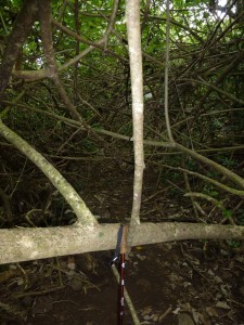
Just to make things interesting

Just to make things interesting

Because that is exactly what my knees wanted after all the clambering down a mountain, was repeated bending and crouching.  It was joyous.

Actually I am pretty happy with how well my body held up on this trek.  Fitness wise I was good.  I got to the top easy enough, it was hard and got the heart going, but my muscles were still fresh.  And I hated the down hill, but the knees were fine, and I actually handled it well.  It was just confidence and fear of injury that kept me so slow.

The final descent was steep and precarious, the track was narrow and a long drop off the left of the track, so there was a handy “hold on to this to not fall to your death” rope on the right.  As I was picking my way down a couple of Rarotongan boys ran past like this was nothing.  I felt old and haggard then.  But I could see the car park at the bottom, and 10 minutes later I was out!

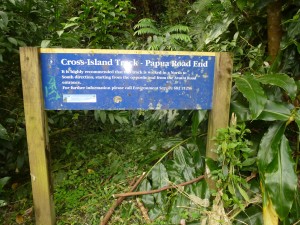
The end was at the Papua Waterfall, which was dry.  End of Hike SignThat was disappointing because the photos I had seen looked so good, and I was dreaming of jumping into the call waters at the end of the hike.  But there was nothing, just a shallow pond.  So I started the walk out down the road back to the coast.  That was another 2.5 km to get to where my brother and sister finally picked me up.  All up the walk took 4.5 hours and was about 7 km.  I am really glad I did it, and the staff at the hotel were impressed so that made me feel good.
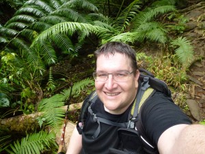
The obligatory selfie

The obligatory selfie

I still have a long way to go until I am fit enough for the Milford Track, but this went a lot better than the Mangatepopo walk (which was actually shorter and not as steep).  So I think progress is being made.
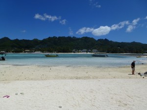
Just to show you how nice it was.
Just to show you how nice it was.
 

Very-Mini Hike: Riverstone Bush Walk

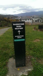
On my Saturday morning walk around the neighbourhood I decided to go a different route than normal (I was getting a bit tired of the same old route) and discovered a little sign pointing to “The Riverstone Bush Walk”.  So I decided that would make a nice change. Small Sign And what a wonderful little walk it was!  It climbed up a gully along a stream, through native bush I didn’t even know was there.  I had seen the sign for the top entrance to this walk before, but it looked like it just went off into gorse bushes so it didn’t really excite me too much. A pleasant wee path And the last bit was just through gorse, but the rest of it was quite pleasant, and nice to know that there is a little bit of nature so close to home.Riverstone Bush Walk

The 12 km / day challenge has come to a mostly successful conclusion.  Except a bit of a fail on Saturday I did in excess of 12 km a day, and didn’t eat much more than 1000 calories most days.
  • Monday – 13.6 km
  • Tuesday – 13.4 km
  • Wednesday – 14.3 km
  • Thursday – 14.3 km
  • Friday – 13.0 km
  • Saturday – 5.0 km (lol)

All up it was a good week, having walked a total of 73.68 km, which is a new Jordan Week Record.  I lost about 4.1 kg in the week as well.  I have to say, it was an effort.  I feel pretty good for it, but it was difficult at times and I really had to make myself get out in the evenings to finish off the goal.
This week I am only going to try for 10 km a day.  I also want to go out swimming each evening during the work week because my holiday in Rarotonga is coming up in just 3 weeks now, and I want to get a bit of swim conditioning in so that I can enjoy the snorkelling and stuff while I am there.

I have brought my main back-pack to work and will be wearing it on my botanical gardens walks from now on.  I can carry more weight in it comfortably, and need to increase my conditioning in the load carrying area.  I am starting with 12 kg in the pack, and will increase each week.

So an update on the progress of The Plan™ at the end of Week 23; I have walked a total of 636.1 km over 146 hrs and 48 mins. Which is 117% of what I have set myself to-date.  I have also lost a total of 34 kg – 68% of my current weight loss goal.

Still so much to do!

Boulder Hill – Belmont Regional Park

My next big Mini-Hike (yes I am aware of the oxymoron inherent in that phrase) came on 25th April, ANZAC day.  I like to partly think that I chose this walk in honour of my ancestor and his charge and death on Chunuk Bair, and I certainly did think on it as I walked up, mostly thinking about how I wouldn’t have even made it to the beach at Gallipoli, such a sad excuse of a physical specimen I am.

Anyway, I decided that I would go on another one of the walks I saw in Belmont Regional Park when I did the Waterfall Track.  I did a bit of research and decided that Boulder Hill is what I felt like doing.  Various descriptions had it from “easy” to “steep”, so figured it would be a good challenge.

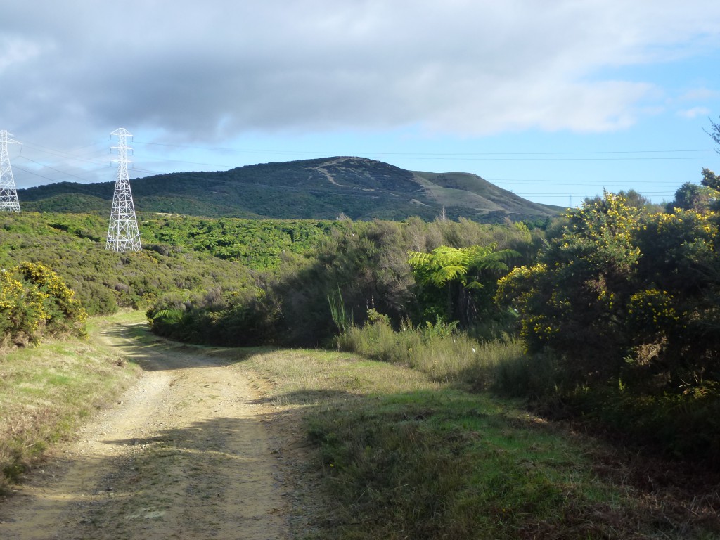
I set off, wearing the new pair of boots I had bought a few weeks earlier, at about 9:30 am.  There was initially a sharp climb for a minute or two to a 4WD track which wound up the side of the Dry Creek Valley for about 1.5 km.  It was not too steep, but still a challenge and got me well out of breath, having to pause frequently.  But a good even track.  At the top I got my first sight of my goal and thought . . . oh bugger . . .

View from 4WD track of Boulder Hill in the distance.

View from 4WD track of Boulder Hill in the distance.

the photo here doesn’t quite convey the impact, it did look both far away and high.  But, in the spirit of ANZAC I soldiered on, however not in the spirit of ANZAC I did complain a fair bit about it.

The track from here went off across farm land, and although there were a few declines, it was predominately an incline.  The transmission lines marked the half-way point (I discovered on the way back), and soon after the climb up Boulder Hill proper started.  At least I thought it did.

I got to a rest spot (read Park Bench) where another track meets the Boulder Hill track and rested for a spell.  Then continued on, and from there it did get proper steep.  I thought I was walking up hill before, I wasn’t. For the next kilometer it was serious hard graft.  But I was alone, and not on a clock, so could correctly pace myself.  And then finally . . . I wasn’t at the top.  It was one of those horrible moments where you get to where you think you are at the top, but then look further ahead and “OH CRAP!”.

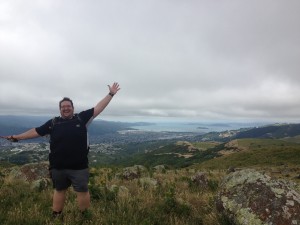
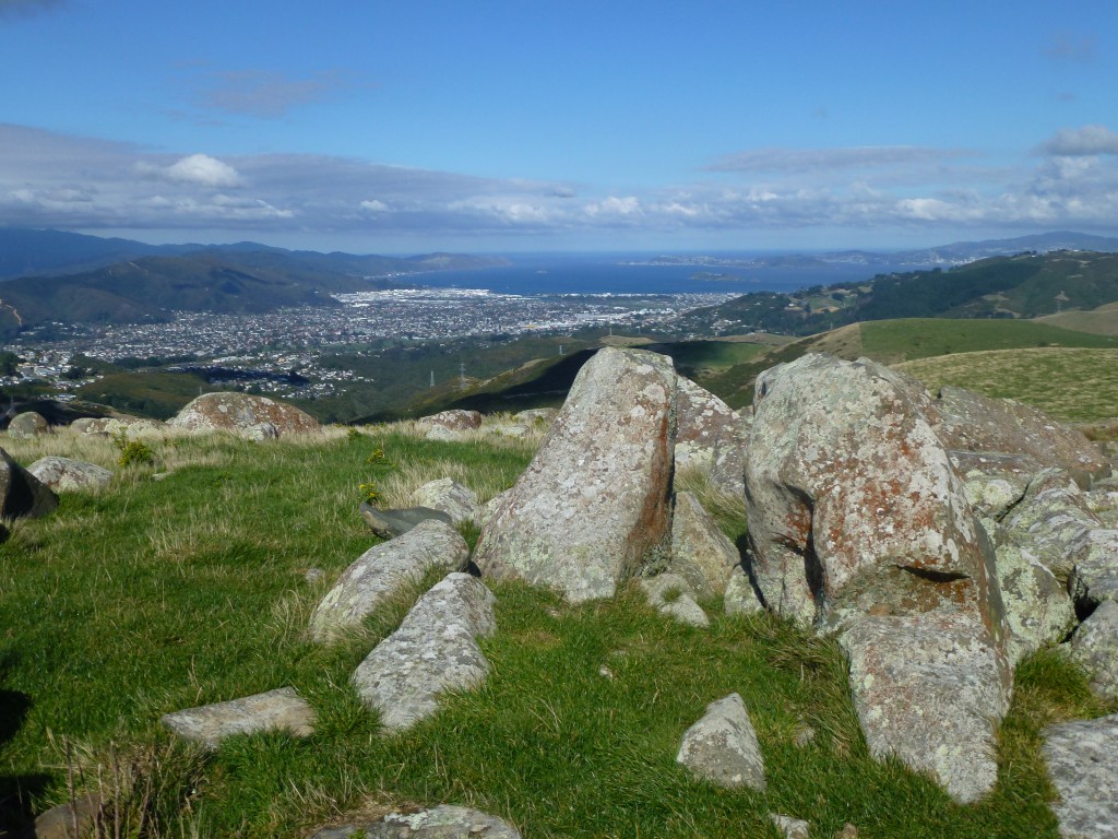
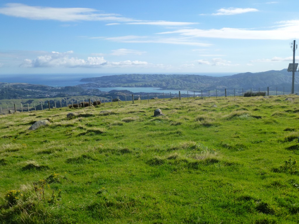
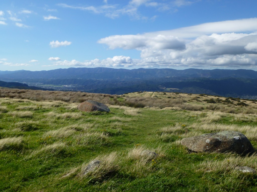
At least is wasn’t too far to go.  Across a fence with a stile and then a short climb and I was at the top.  And it was an amazing sight, and an amazing feeling.  From the top of Boulder Hill I could see out to Wellington Harbour, across to Porirua harbour, and then back down the Hutt Valley from whence I came.  There was even a small pile of boulders to mark the summit.

The view of Wellington Harbour from the top of Boulder Hill

The view of Wellington Harbour from the top of Boulder Hill

I took various photos and then sat down (in the wind which was significant) to enjoy a sandwich well earned, soaking in a feeling of accomplishment, not unlike that I am sure Sir Edmond Hillary felt on Everest.  Then a couple of woman jogged on past from the way I had just huffed and puffed up.  Cows.  Way to minimise my achievement.

View of Porirua Harbour from the top of Boulder Hill

View of Porirua Harbour from the top of Boulder Hill

Post sandwich I commenced on that which I was dreading the entire journey up . . .  the journey down.  Once again, slowly does it, and although not a technically ‘difficult’ as the Waterfall Track was on my knees, it was long, steep, and unrelenting decline.  I made it without much drama.  No slips or strains.  My knees ached like all-get-out, and there was the occasional sharp searing pain in the tendons behind my knee (a really strange and disturbing feeling).  But I made it.

The view of the Hutt Valley from the top of Boulder Hill

The view of the Hutt Valley from the top of Boulder Hill

The rest of the walk, down the 4WD track was fairly routine.  I experimented a bit with different walking strides and technique to see what would hurt least.  I think “knees bent” is the way to go.  Not stiff legs – short strides.

By the time I reached the car I was pretty much at my endurance limit.  The knees were very sore and the legs getting stiff. For the rest of the day I was quite sore and stiff.  It got better later in the day, and the next day I was walking fine, and even put in my standard 4 km walk that The Plan™ dictated.  But the Monday after I decided I would benefit from a rest.  And it was a public holiday.

All up I am glad I did this Mini-Hike.  It was nearly 10 km, and took about 3 hours, which isn’t a bad pace for me.  And 5 km walk up the whole way is a decent effort.  It leaves me feeling like I might actually be able to do this Milford Track.

Next on the agenda is a Chateau to Mangatepopo Hutt walk in Tongariro National Park on Queens Birthday weekend (the end of May).  So my focus is on that now.

Waterfall Track – Belmont Regional Park

After my first week on The Plan™ I was feeling quietly confident and still optimistic about this entire endeavour.   I had already incorporated into The Plan™ to do a Mini-Hike on this first Saturday, and I wanted to keep it short.  So a bit of research into the local surrounds kicked up a couple of good looking walks at the near-by Dry Creek entrance to Belmont Regional Park.  Only about 7 minutes drive from home.

I figured that The Waterfall Track sounded like an ideal first up walk for me.  It was easy grade, about 35 min one way, ended in a waterfall.

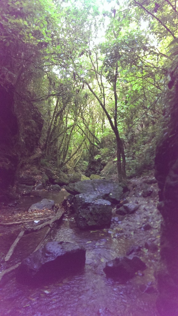
It proved to be way more challenging than I was expecting.  The grade was easy, which was disconcerting because I still found it tough at times.  What was difficult was that it was basically walking up a stream bed – and it wasn’t dry.  The path crossed the stream regularly, really the best definition was “criss-crossed” and that wasn’t a problem.  What was a challenge for me was that the steps up and down were quite high.  Now I can step up just fine, stepping down is another issue.

Looking down the track from the Waterfall.  It is really just a stream.

Looking down the track from the Waterfall. It is really just a stream.

I have damaged my knees on a number of occasions through my life.  Starting when I was 16 when I completely twisted one knee 90º and then spent a week in hospital followed by 3 months in a full leg cast.  Since then I have dislocated my knee cap twice and am now very careful of twisting my knees.  My nightmare is that I will wrench my knee while out on one of these walks.  Even one as close to civilization as The Waterfall Track.

So any time I am presented with a uneven surface or even small drop I have to negotiate, it takes me time, and also hurts.

Interesting fact:  When walking a stress 3-6 times your body weight is exerted on your knees with each step, when walking down hill the forces on the knee are 3 to 4 times greater than level walking.  So for a man my weight, I have up to 4488 kg of compressive force on my knees when walking down hill!  No wonder they hurt!

Added to this stress was that I was walking over a lot of wet slippery stones.  Slipping makes Jordan sad.  I actually had one big slip on this walk on a boulder.  Luckily it was a slow slip, so could control it, to the dulcet tones of “oh f..k, f..k, f..k, f..k, f………….k!”

I did have my handy dandy hiking pole with me which was a big help.  Don’t leave home without it (honestly I don’t, I keep it in the boot of my car).

After about 40 minutes walking I was beginning to despair, not knowing how much further I had to go, and worrying that I would do to much to soon, and that I would get myself into a position I would struggle to get out of (even though the park’s website said that this walk was suitable for children, bugger it).  And was contemplating turning back and trying about another day, I spied the the waterfall ahead around a bend.

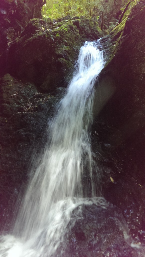
The Waterfall at the end of the Waterfall Track in Belmont Regional Park (Dry Creek entrance)

The Waterfall at the end of the Waterfall Track in Belmont Regional Park (Dry Creek entrance)

At this point I abandoned the track which wanted me to climb up and then down a particularly dodgy section of track (in my estimation) and just walked along the stream bed.  The waterfall itself was actually quite beautiful.  And all the more so for the effort I had to put in to get there.  All up it took me 45 minutes to get there.

On the walk out I was very circumspect with my foot placement and path I took.  I mostly abandoned the path and it’s ups and downs, and walked along the stream.  This seemed to work better for me, but was slow going.  By the time got out my legs were trembling.  My right forearm was very sore as a result of jarring it when I slipped, and the weight it was bearing onto the hiking pole.  But I made it, with little injury and a sense of accomplishment.

It was a little disheartening that what was essentially a simple walk caused me such hassles, but I have to bear in mind that it was only after one week of conditioning, and I didn’t expect to do well.

If I keep up doing those sorts of walks, my knee and leg strength will improve.  My balance and coordination will improve, and my risk of injury at Milford will decrease.

And I wasn’t too sore the next day.


© 2024 One Fat Hiker

Theme by Anders NorenUp ↑