The continuing story of a Fat Man, gone to the bush

Tag: Hike

The Milford Track Day Four: Dumpling to Sandfly Point

I had a solid and good night’s sleep.  I was completely out to it for most of the night; I didn’t even wake when the rest of the people came into the hut to sleep.  However,  towards dawn I was finding it harder to stay asleep.  My left foot was painful on the side of the big toe where I had accumulated a couple of blisters.  And the toenail on my right foot was also quite sore.  For those paying close attention, it was black and falling off from a previous incident on the Rimutaka Incline walk back in January (ok, I’ve since re-read that and I didn’t mention the black toenail.  I damaged it putting my boots on.  It’s painful, ugly, and falling off – but I’ll spare you a photo).

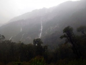
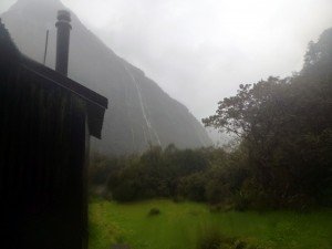
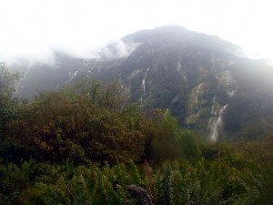
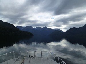
Morning View from Dumpling Hut

Morning View from Dumpling Hut

It was raining heavily throughout the night and that continued when I got up at around 5:30 am.  Daylight savings time had finished that morning, so I had an extra hour sleep.  And as an added bonus, the DOC timer was still on Daylight Savings time so the lights in the main hut came on at 5:30 am rather than 6:30 am.  I was hungry, so proceeded to the main hut and cooked up the Spaghetti Bolognase which I hadn’t had the night before.

I was feeling much better than when I went to bed.  The feet were still a bit sore, but the patches the Korean gentleman had placed on my knees seemed to have worked wonders.  They smelt vaguely like Deep Heat, so I figure they were infused with the same sort of anti-inflammatory.

Breakfast went down great, as did a strong sweet cup of coffee.  I packed up my gear,  and put on my wet shorts from the previous day (they hadn’t dried by the fire), pulled on my wet boots, and set off at about 7:30 am in the heavy rain.  I wasn’t the first to leave this time.  As we all had to make the boat within a two hour window (2pm – 4pm) others were just as keen as me to get there.  I was quite worried that I wouldn’t make it in time.  I was sure that I had conquered the worst of the Milford Track and it was behind me, but distance wise today was the longest walk, just over 18 km (or 11 miles – as they use miles on the track).

Immediately I was regretting that I hadn’t bothered to buy synthetic hiking shorts.  I was wearing cotton basketball shorts, the same ones I had been wearing for almost every kilometer I had walked during my  preparation, and chaffing caused by them had become a significant issue for me since day 2.  Usually, after some diligent application of anti-chaffing lotion, and whatever moisturizer I could scrounge from “the mums”, I had started each day chaff free.  But not today.  This worried me.  But surprisingly it stopped bothering me soon into the day.  I guess your mind just blocks the irritation out after a while (but I did feel it later that night and the next day a bit).

The Boat Shed

The Boat Shed

The heavy rain had swollen all the streams on the track, and it was a miserable 2½ hour walk to the first shelter / way point – “The Boat shed”.  There was no avoiding getting my boots soaked, I pretty much had to wade through each stream over the track.  They weren’t dangerous – much, but did come up to about ankle to calf height.  At one point there was a slip which had come down earlier in the season over the track.  That was about 200 m of climbing over slippery logs and mud.  There was a route marked, but it was slow and a quite tricky.  At another point the track was completely submerged for about 20 m.  A rope had been snaked through the trees marking a route a bit off the track through the water which was around thigh height.

Yip, the Milford still had a few tricks to throw at me.

The Boat shed was . . . a Boat shed, and not much of a shelter for independent walkers as it was locked and no where to really rest outside except to sit in the rain.  It was here the Peter and Jerome passed me for the last time and bid me adieu. It was good to see them one last time.  I owe Peter for looking out for me.

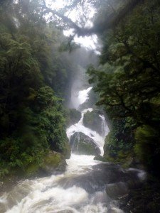
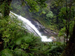
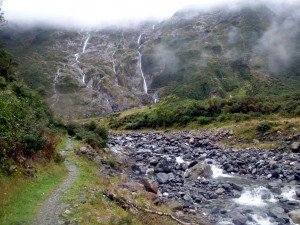
MacKay Falls

MacKay Falls

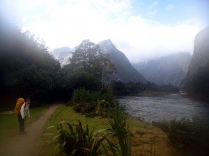
I set off again and it was more of the same, luckily without any more slips or submerged track.  But some decent mud and stream crossings. Eventually I came to the shores of Lake Ada which runs all the way down to Milford Sound and Sandflly point.  For some reason here I started to get very anxious and panicky.  I don’t know what brought it on.  But I kept walking and thought calming thoughts and it seemed to come alright.

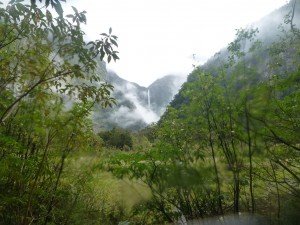
Rest Stop View 1

Rest Stop View 1

Rest Stop View 2

Rest Stop View 2

Rest Stop View 3

Rest Stop View 3

On the good news side, the rain had stopped and the sun was coming out for the first time since I started the track.  I felt like I was making good enough time that I didn’t have to stress too much about making it to the boat on time, so I tried very hard to enjoy myself. The sun had lifted my spirits immensely, so I started to stop at every second mile marker.  The mile markers are brilliant!  They gave me something to look forward to seeing and celebrate as I passed them, counting down to mile 33 which was the last marker.  So from mile marker 28 I started to stop every two mile markers, have a drink (which I was being more diligent about) and have a bite to eat.  This worked well.  I got to enjoy the scenery in each location I stopped, and conserve my energy a better.

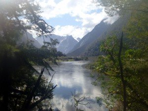
Lake Ada

Lake Ada

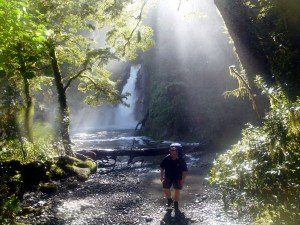
Me at Giant Gate Falls

Me at Giant Gate Falls

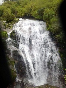
The next and last shelter was at Giant Gate Falls (which is the waterfall picture on the header of this blog).  I stopped there and had a bit more to eat before crossing the bridge in front of the falls.  It was one of the greatest moments on the track.

The walk from there was pretty straight forward.  There was one major steep uphill section which I wasn’t expecting, and for added fun it was all rock face with a mossy overhang constantly dribbled water on me.  But once that was over it was pretty much flat to the end.

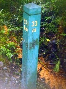
The closer it got to Sandfly point the better the track got (the track was actually a road for the last 2 km which was built by prison labour in the 70’s I think).  I had taken up the habit of hitting each mile maker with my walking pole as I passed it .  I was getting more exuberant with each passing mile (after 31 miles I was resting every mile maker).  And I let out a load whoop of joy when I finally saw Mile Maker 33!

Mile Marker 33!

Mile Marker 33!

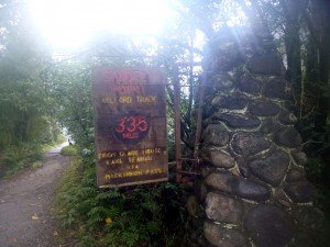
There was even a convenient log to sit and rest on there.  Sure the last ½ mile seemed to take longer than it should have.  But finally I walked around the corner and there was a the shelter at Sandfly point.

A rather affable chap was sitting there ticking off names on his clipboard.  So I needn’t have worried about being left behind.  I was aiming for 3 pm, and I got there at 2:30 pm.

Milford Sound

Milford Sound

I clambered into the shelter where three others who had been with me were waiting.  They cheered and clapped and I felt elated, jovial, I wouldn’t say overcome with emotions.  But I was pretty stoked.

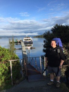
About 5 minutes after I arrived the boatman got us to walk the last 2 minutes down to the boat.  This was a little open top boat more like what I was expecting to take us at the start of the track.

The End

The End

I watched the end of the track and the pier slide away behind us, looking up the valley back at a distant MacKinnon pass which I couldn’t see but knew was there.  It was an amazing feeling.  A sense of accomplishment doesn’t really express what I felt.  Relief was a large part of the emotion.  But I  had the biggest grin  on my face.

Not for the first time I thought about my father, how he would have loved doing that tramp.  I have a vivid memory of being a kid and watching something on TV about Fiordland, and him telling me about the Milford Track.  I thought then it would be something special to walk that track .   And now I have.

One Last Look Back

One Last Look Back

So what next?
The Milford Track Day Three: MacKinnon Pass

02 April 2016

Thank everything Holy that day is over.  I don’t think I have ever put my body and my mind through that sort of ordeal before. It took everything I had to get through it.  500 m up and over a 1000 m down, 10 hours in the wet and the  . . . ok it wasn’t cold or windy, but it was wet.

As I mentioned at the close of my last post, I was very anxious about this day.  Not so much about the climb, but the down hill (not a surprise to anyone who has followed my  blog even casually).  So I started out early again, a bit early than the previous morning, at 7:30 am.  There was roughly 15 minutes of flat and then I crossed the Clinton and the die was cast (that’s a Julius crossing the Rubicon reference to those who didn’t pick it up – a classical education here folks!).

Looking down from half way Up

Looking down from half way Up

The track from here was a steady zig-zag up the side of the gorge at the very end of the Clinton Valley (I don’t know if it is really called that, but I will).  It wasn’t extremely steep, but it was a good wee hike.  It took me, I suppose about 3 hours to reach the top.  The climb starts in the same bush that have been walking through for roughly two days, but thinned out as I climbed higher and higher, up into an alpine zone where only low scrubs and grass remain.  I was passed by most everyone who was on my walk with me.  Closer to the top I decided to stop for a drink and a bite to eat.  It was drizzly, misty weather, but no wind to speak of, so quite tolerable.  But the thin air was starting to get to me.  I was literally gulping down the air, sucking it in as deeply as I could, but never really getting enough.

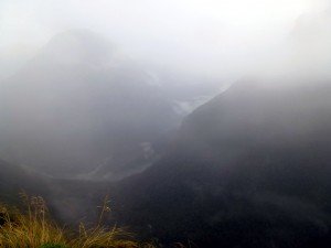
Head of the Clinton Valley

Head of the Clinton Valley

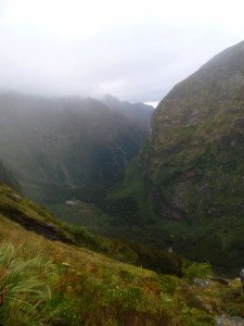
The view down the valley however was fantastic.

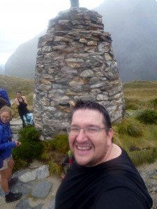
Selfie at Quintin Memorial

Selfie at Quintin Memorial

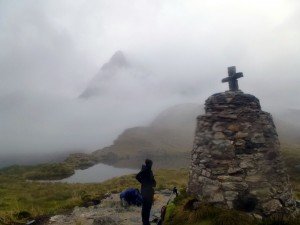
Finally I came around a bend and could see the first sign I was nearly at the top.  The Quintin Memorial.  Which is a large Celtic style pyre with a cross on it in memorial to Quintin MacKinnon.  A number of the people walking the track at the same time at me waited for me at the memorial and cheered as I approached.  It felt good, but I wasn’t joyous at reaching this landmark.  I was weary and worried about the rest of the day still to come.

There are some truly amazing views to be seen from the Quintin Memorial.  I didn’t see any of them.

I spent about 10 minutes at Quintin Memorial, then pressed on as the rain picked up to get up and over the summit of the pass, about another 20 minutes of walking.  There is a shelter just past the summit (called the MacKinnon Shelter) which is well enclosed and has a cooker to heat water for a hot drink.  There is a long drop toilet there which they call “the loo with a view” – it has a window on the door so you can sit and enjoy the scenery.  But there was nothing to see today.

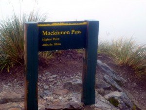
The Highest Point

The Highest Point

Quintin Memorial

Quintin Memorial

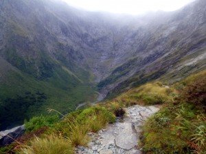
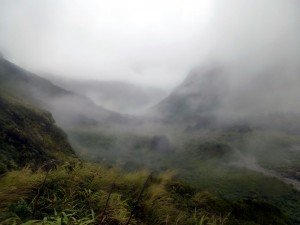
Looking down into Fiordland

Looking down into Fiordland from Quintin Memorial

I didn’t stay long.  Just a rest and a bite to eat.  I didn’t have a hot drink which maybe I should have.  But I was anxious to get going.  As long as the climb was, it hadn’t covered much distance and I knew there was 1000 m of down to go.  I steeled myself and set off again.

At first I didn’t think it was all that bad.  The track was ok, not to slick or steep or rocky.  But that quickly changed.  Never really got slick, my boots were grippy enough I think.  But there was a lot of crossing waterfalls which flowed over the track, and the mist meant I couldn’t see how far down I was.  Just constantly walking and walking and climbing down rocks.  My glasses were always partially misted up and wet, which made it difficult to really place my feet well; it messes with my depth perception.

The False Valley Floor

The False Valley Floor

Finally I could see the valley floor.  Well what I thought of as the valley floor.  But I wasn’t even half way down.  The half-way down mark was a shelter called the Cascades Shelter, and i was confident that I was close to it when i reached this valley floor and the river flowing along it.  However my joy was soon turned to misery when a guide from one of the guided walking groups went passed and I asked her how far to the shelter.

“About 40 mins”

I was crushed.  It had taken about 2 hours (my watch had stopped so not too sure on time) and it was still over an hour away (40 mins for her would be 70 for me).  Then she made the mistake of trying to cheer me along:

“You are doing really well!” she exclaimed with false confidence in her encouraging statement

“No I’m not!” I spat back “I’m barely ‘doing‘!  ‘doing well‘ would be me at the hut by now.”

“No” she replied, not picking up on my pessimism, “there have been walkers who only got to the MacKinnon shelter after 2 pm and we have had to helicopter them out because they would never have made it to the hut by dark”.  Thinking this would brighten my day and make the whole wet miserable experience better.

I starred at her for a long moment then calmly replied “You mean if I had stayed up there until two, they would have flown me out of here!?”

The poor lady, she was only trying to be nice.

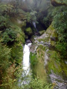
Anyway, I kept on going and soon came to the Cascades.  They are a series on waterfalls (surprise!) which the track runs along side.  They have built a long series of stairs as persumably it is far to steep to climb down normally.  The stairs are steep enough.  Any other time (i.e. when I haven’t been walking for 5½ hours already) this would have been an amazing part of the track for me.  But for now it was just another obstacle to overcome.

Cascades 1

Cascades 1

Cascades 2

Cascades 2


I finally reached the Cascade shelter at the bottom of the Cascades and had some more food and water.  I wasn’t in a good frame of mind, thinking I was only half way down (if they hadn’t lied about that).  So pushed on as soon as I could.

The track was more of the same, but now a bit muddier.  I was getting tired and clumsy so was misplacing my feet more often and getting angry and frustrated.  At one point i figured I was well alone, everyone I knew on the track was in front of me.  So I let out a long and expletive riddled synopsis of what I thought of the track, walking down hill, rocks, and my fat useless self who couldn’t handle it.  Then turned around to see a slightly startled Japanese woman looking at me like I was nuts.

So much for being alone.

The despair on the track is a weird thing.  I could go from feeling good and optimistic to near tears with frustration within seconds.  It really was a battle of the mind more than with my body.  My body, besides being tired, was OK.  My feet were feeling good (besides blisters), and my knees and muscles weren’t bothering me.  So I just had to get over the mental barriers and keep walking.

About 30 mins after that episode another guided group passed me.  This time the guide was quite useful. She informed me that just up ahead was a waterfall called Lindsey Falls, and then there were 3 zig-zags to go and I would be at the junction where the track turns off to the shelter on the way to Sutherland Falls or along to Dumpling Hut, my destination for the day.  I asked how long to the junction and she paused and look me over.  “Ok, how long for you?” I asked.

About “5 minutes, but it’ll take you about 20”

“What!  are you going to jump?”

“No, I just do this a lot” she replied, then (and I am not joking here) ran off over the rocks and away.

Lindsey Falls

Lindsey Falls

Well, true to her word, one waterfall and three zig-zags later I was at the junction.  I turned off to the shelter for a rest.  I had wanted to go to Sutherland Falls since I planned this trip, but when I got to the shelter it was 4 pm.  It was marked as 1½ hours return walk to the falls, and I didn’t have time.  That would have me at the hut after 7 pm, and after a day of looking at water falling over rocks, the enticement of seeing more water falling over rocks just wasn’t doing it for me.

Closest I got to Sutherland Falls

Closest I got to Sutherland Falls

Dumpling hut was set down for 1 hour from the junction, but i’m sure it took me 1½ hours, and I was just dragging my feet.  Some of the ladies had caught up with me (they had gone to the falls) and kind of walked with me, spurring me on with lies about the hut being closer than it was.  I was really thinking this hut didn’t exist, just a mean joke that DoC was playing on me when it finally appeared, as they do.  I couldn’t even cheer.

I got into the huts and collapsed into a chair by some of the guys.  I was sore and exhausted, no energy to really even get out my wet clothes.  And no appetite to eat.  I could barely get through an O.S.M bar.

When I finally got into dry clothes and forced myself to nibble a bit more I was feeling no better.  I went into the room where a bunch of the guys I had gotten to know were hanging out near the fireplace.   I sat on the floor beside them (there was no chair available) and thinking that wasn’t half bad, lay down in the corner, with my O.S.M. bar and a bottle of water. I was there a minute when Peter (an Australian buy who was luckily watching out for me, and has medical training) looked over and asked if I was alright.  I kind of vaguely waved a reply, which he wasn’t satisfied with so came over, ordered me to sit up and took my pulse:

(affect a bad Australian accent) “Crickey jingo mate! Your heart’s going going faster than a jackroo in a was-a-doo hole” (or something equally nonsensical I am sure :-)

I was actually crying by this stage. He declared I was dehydrated and made me sip water and eat and keep a close eye on me for the next half hour or so until I was starting to make fun of him again.  He sent me off to bed early (he was in the bed next to mine, he had been saving me a bed the past couple of nights so that I didn’t have to deal with a top bunk, he is a great bloke).  And I didn’t have any dinner that night, the DoC ranger agreeing that rest and water was more important than food.  And I probably wouldn’t have kept it down if I wanted to.  I was quite embarrassed about the whole thing actually.

He recommended I lose another 30 kg before I try this again

-Word!-

Before I went to bed some of the Korean guys who had noticed me limping came over and put some patches on my knees, saying they would feel good in the morning.  I couldn’t argue.

Bed felt great, I was out like a light.

It Exists

It Exists

The Milford Track Day Two: Clinton to Mintaro Huts

01/04/2016

Sleep was a bit elusive las night.  Hopefully my CPAP didn’t bother anyone.  It worked ok I think, and chatting to people later nobody was complaining about my snoring.  I got up eventually at 5 am and headed into the main hut to make breakfast.

The Clinton at dawn

The Clinton at dawn

It was raining lightly and is expected to increase during the day – at least that is what the ranger has written on the whiteboard in the hut.  He doesn’t want anyone to leave before 7 am so that he can get word on if the rain has closed the track.  Apparently that is a thing.

Breakfast was edible:  freeze dried bacon and eggs with baked beans.  In an effort to reduce dishes I cooked it according to the instructions . . . I don’t think I will do that tomorrow.  The beans were still crunchy.  I served it with a piece of toast with butter and was then ready to go before most everyone else were up.  I still had to pack, but as that is noisy I want to wait until people were already stirring.

So I ended up heading out at about 7:45 am, it was still dark for about the first 30 – 45 minutes of the walk.

Looking Down the Clinton

Looking Down the Clinton

Today was a day that I was worrying about a fair bit when I thought ahead about the journey (ok, everyday was a day I worried about.  I worried about this walk a lot).  It is about 16½ km and uphill all the way.  Not a steep uphill, but up none-the-less.

The rain cleared up fairly early in the day but it remained misty and cloudy all day.  However the scenery remained amazing.  The track continued along the Clinton river and starts into steeper and steeper gorges with waterfalls everywhere – endless.  The bird life is phenomenal as well.  I stopped for my first rest after about 2½ hours at a shelter at Hirere Falls.  I got to share my lunch time with a weka that was hanging out there . . . and the sandflies.  The sandflies are endless as well.


My next stop was at Prairie Shelter which is in a area of flat open land with two forks of the Clinton River branching on either side.  There were no Weka there, but still had sandflies for company.  Prior to the prairie I had gone off onto a side track to a place called “Hidden Lake” . . . it wasn’t really hidden, there was sign pointing it out.

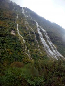
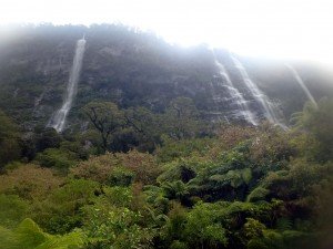
Waterfalls on Bluffs

Waterfalls on Bluffs

Waterfalls on Bluffs 2

Waterfalls on Bluffs 2

Besides weka, I saw kea, kereru, kakariki, NZ Falcon, riflemen,  south island robins, tomtits.  Although I didn’t see and whio, which was a shame.

So I did lots of walking – soaked by the scenery.

Hidden Lake

Hidden Lake

Waterfalls on Bluffs 3

Waterfalls on Bluffs 3

First View of Pass

First View of Pass (notice how you can’t see it)

The last 1½ was pretty hard going.  It was steeper than the preceding 5 hours (the rangers call it the practice hill for the MacKinnon Pass), but as I was at the edge of my fitness by then it was challenging. I did start to resort to a break every 10 minutes to keep me going, but still it was hard.  When I finally got to Mintaro hut I was wasted.

I had to force myself to have dinner (Spaghetti Bolognese – freeze dried) as my appetite had deserted me, and I was feeling slightly nauseated, which happens when I am exhausted.  Physically I am otherwise feeling fine.  My feet are good (only one big toe blister and small one on the outside arch of my left foot), and my knees are good.  My lower back hurts a bit, but I will deep heat it so will hopefully be good.

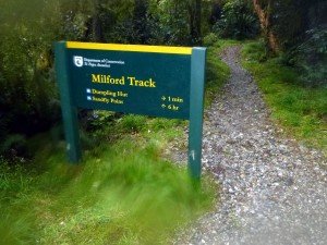
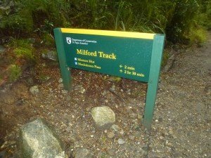
Mintaro Hut Sign

Mintaro Hut Sign

The Mintaro hut is interesting.  There is just one larger building (with a helicopter pad) with two bunk rooms downstairs, and a bunk room upstairs.  There are kea here, so we have to hang our boots up as they will carry them off.

I am very very anxious about the day 3 walk over MacKinnon Pass.  Specifically the 1000 odd feet descent on the other side.  It will be brutal.

I finally went to bed at about 9 pm.

The Milford Track Day One: Glade Wharf to Clinton Hut

31 March 2016

So this is it!  A year of preparation has lead up to one moment.

Waiting at the wharf

Waiting at the wharf

Today I woke after a bit of a troubled night.  To be fair the bed wasn’t the greatest, but I was staying at a backpackers at Te Anau Downs just 200 m from where the boat leaves to the start of the Milford Track.

I had a breakfast of bacon and egg sandwiches, and in what I took to be a good omen, there were 5 double yolkers in the pack of six eggs.  Lucky Me!

Double the Yolk

Double the Yolk

After some last minute preparations and packing we went down to the wharf and waited . . .

and waited . . .

and waited . . .

and waited . . .

Finally I was on the boat and gliding along Lake Te Anau.

Along Lake Te Anau

Along Lake Te Anau

It is an hour boat ride to the top end of Lake Te Anau with just the most amazing views along the way, and some interesting facts and figures provided by the crew (did you know Lake Te Anau is the largest resoviour of fresh water in Australasia? – it is).
We got to the jetty at Glade Wharf and disembarked.  I was anxious but confident as I stepped off and into the didymo treatment buckets.

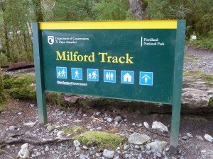
Start of the Milford Track

Start of the Milford Track

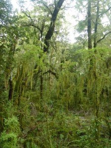
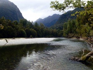
The walk from the Glade Wharf to Clinton hut is only a short and easy walk of 5 km.  It follows the Clinton river through lush tropical rainforest which is just the most gorgeous shade of green, everything seemed to be hung with moss, it was almost too perfect, like it had been set up to look that way.  It tinged everything with a  light green hue, especially the water in the river.  The Clinton is a beautiful river.

Green Rainforest

Green Rainforest

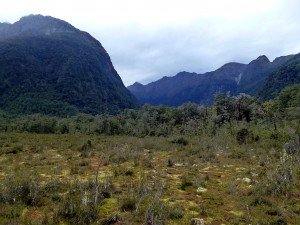
There was a short side trip about 3/4 of the way along the track into some wetlands which was informative and showed a completely different landscape.

Wetlands

Wetlands

The Clinton River

The Clinton River

I got to the hut and settled in at about 1:30 pm. It started to rain at about 2:30 pm.  The forecast is for rain for the rest of the walk :  good thing I am prepared for it.

The remainder of the day was spent chatting in the hut with some of the other people who are independent walkers of the track with me (which means we aren’t part of a guided trip.  The guided walkers stay in private huts different from those provided by the Department of Conservation (DoC).  They have all meals provided and bedding, the works . . . jerks).

The DoC ranger, Ross, came by and took some of us to see some Weka chicks.  These were the first Weka chicks he had seen in 7 years at Clinton hut.  The predator control measures they are taking here are working :-)  Ross later gave an interesting hut talk that evening.  He is a man passionate about the bird life in Fiordland.

Dinner was freeze dried roast lamb and mash potato with minted peas.  I didn’t follow the preparation instructions on the packet and cooked it up in my billy instead of soaking it in the foil bag.  Man that makes a massive difference to the taste and quality of the meal.  It was fantastic, turned out brilliantly.

The hut itself is fantastic with two bunk houses and a main hut.  The toilets are flush toilets (I was expecting long drops) and there is solar electric lights in the main hut. Also each bunk is a seperate bed rather than a long area with mattresses and all of us lying in a big huddle.

Clinton Hut

Clinton Hut

I got an early night sleep, turning in at just after 9 pm, so that I could get an early start the next morning, with the first real day of walking.  I was not expecting a good night sleep, and was worried about if the travel CPAP I had humped along with me was worth the effort, and wouldn’t annoy people (although my snoring definitely would have).  I was worried about the weight of my pack which clocked in at 21 kg when I weighed it just before I left.  Which was a good 4-5 kg more than I wanted. Not sure how that happened.  I had been careful about planning the weight.  It must have been last minute supplies.

I was feeling quite confident.  It was a good day.


Hike – Whakapapa Village to Mangatepopo Hut

Well . . . that happened.

The day of the Mangatepopo walk dawn bright, and very early.  We had to drive from Wellington to Tongariro National Park so left early on  29th May (c. 7:30 am) and with a stop at my mother’s on the way, got there about 12:45 pm.  Contrary to my worst fears, it was a beautiful day.  Sunny and clear skies, and the mountains were look beautiful.  After paying for the hut fees at the Department of Conservation office, and some last minute preparations, we set off down the track at 1:30 pm.

This was about half an hour behind my planned schedule.  The walk is said to be 3 hours (5 hours in wet weather).  I was expecting 4 hours, as I seldom walk to the time on the signage. – it took a bit longer than that.

To be fair, they did warn us.

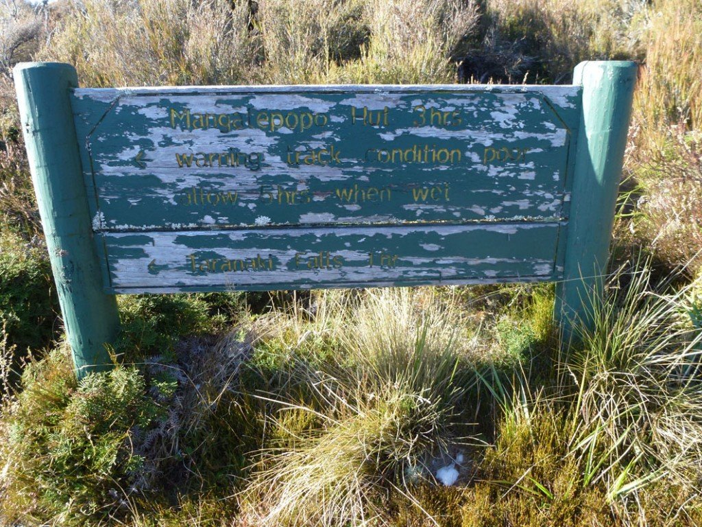
"Warning track condition poor"

“Warning track condition poor”

But, come-on!  That sign looked ancient.  This is part of one of New Zealand’s great walks, surely the track condition can’t be that bad.  It wasn’t so bad when I was 12.  And I talked to the DOC lady at the office and asked about track conditions, and she said it was fine!

So we set off, optimistic and happy about what the future had in store for us today.  And the track was great!  At first.  It was well stepped with a wooden sidewalk through the scrub.  The day was cool, but the sun was out and I was quite warm with no thermal layers on at all.

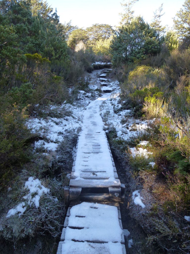
Icey, but well maintained - for now.

Icey, but well maintained – for now.

However, it didn’t take long and all of a sudden the nice condition of the track started to worsen.  But nothing too bad.  It was narrow and a bit rutted, and muddy.  But most of the mud was frozen, so that was fine.

We hiked merrily along for about an hour, and at an ok pace.  There were a few gullies that we had to traverse but that wasn’t unexpected and the views were amazing.

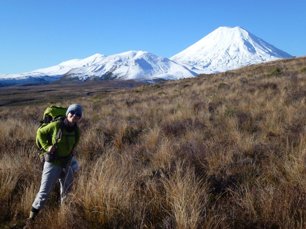
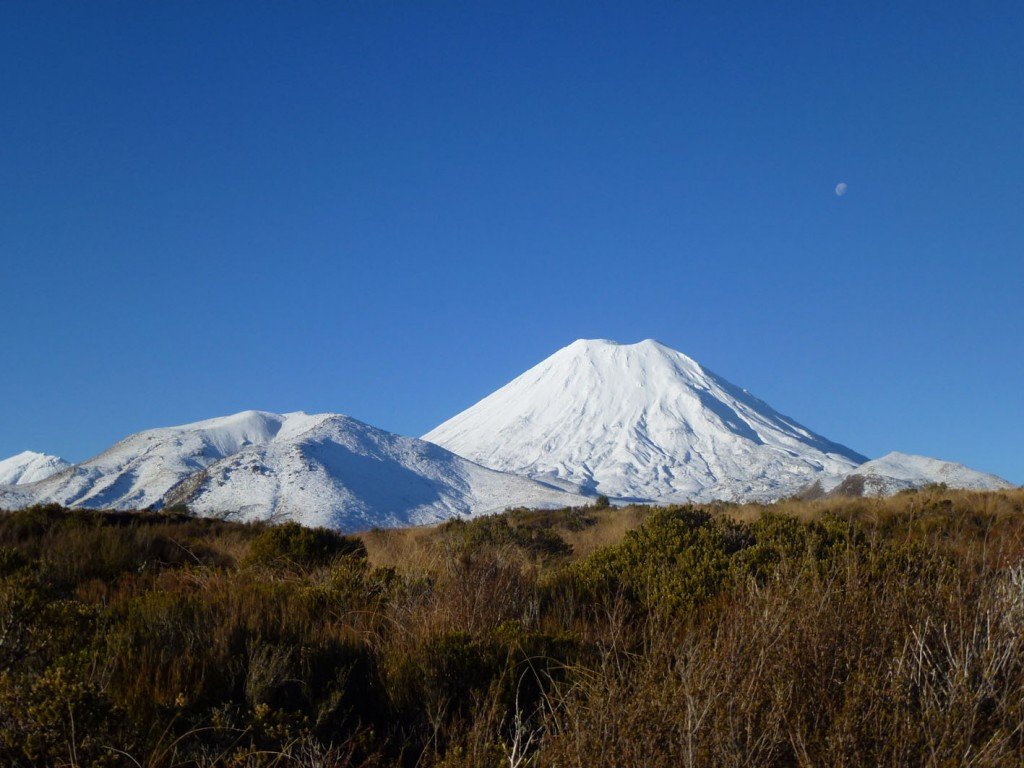
Flo and Mt. Ngauruhoe

Flo and Mt. Ngauruhoe

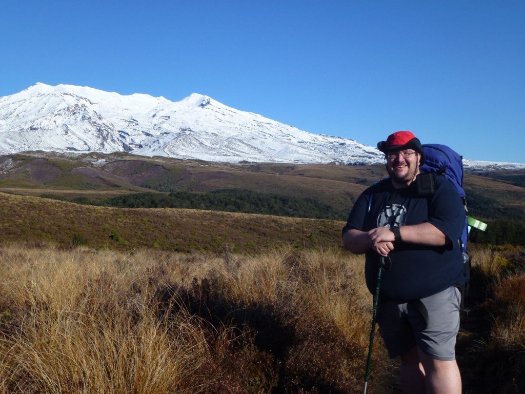
Me and Mt. Ruapehu: Look at that belly! Shameful.

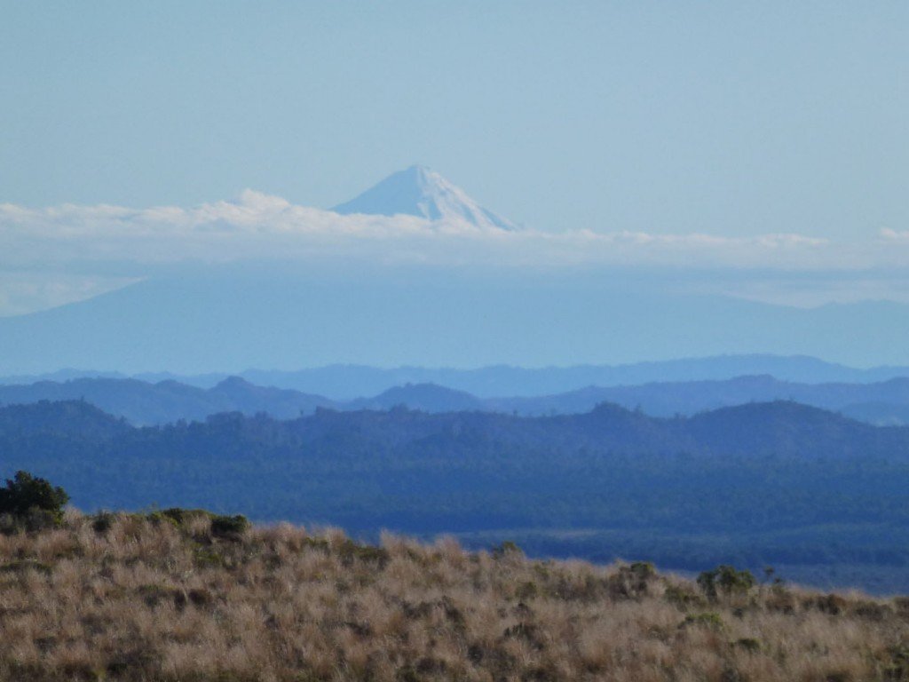
Mt. Taranaki off in the distance

Mt. Taranaki off in the distance

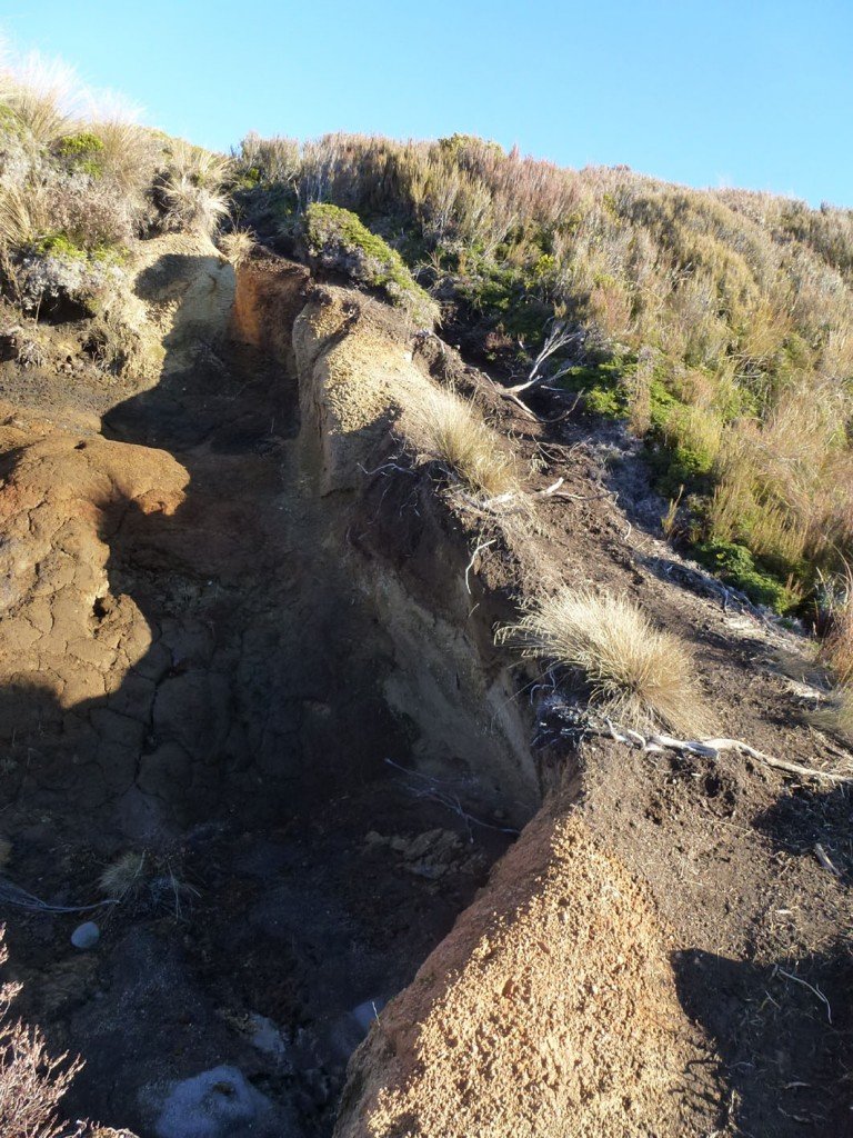
I was feeling fine, jolly even, but a little concerned about the time we were taking, but confident we would make the hut before sundown at 5:30 pm. However the track took a sudden turn for the worse. We came to the top of a steep gully and the track was completely eroded away.  Luckily there was an alternative path that previous trampers had been making to the right of the eroded track, but it was not easy going, at least for me.  And this was just the beginning of the bad.

Hey!  Where'd my track go?

Hey! Where’d my track go?

As we got further and further along the track got muddier, more rutted, and the steep sections down into the gullies (with a few merciful exceptions) got more washed out and eroded.  A notable highlight was when we came to the bottom of one gully to find a crevasse about a meter deep and spanned by two boulders about two feet apart, and covered with ice.  After much umming and ahhing I passed my pack to my long suffering hiking companion (Flo) and managed to scramble and slip across.

Time wore on, and the going was slow.  And although Flo remained obstinately positive in the face of a situation that screamed for grumbling and complaining, I was getting a very bad feeling that we were going to end this walk in the chilly cold of night.

Flo could still admire the scene.  I couldn't

Flo could still admire the scene. I couldn’t

I was right.

The sun set with us still about 2.5 km away for the hut.  My newly purchased headlamp failed me (flat battery – doh!) so we proceeded with hand held torches.  And it was very very slow going from then. Luckily, for the most part, the track was starting to improve, but there was still some erosion to contend with, and one very memorable ascent where the track had turned into a waterfall . . . which had then frozen.  So we were climbing, in the dark, with a flashlight in my mouth, a frozen waterfall – at least 1000 ft high!  This was one of the most amazing feats done by man.  When they right my history, this is going to rank up there with Hillary conquering Everest.  I’m expecting a knighthood this New Years. (ok, it was only a few metres high, but one man’s mole hill is another man’s Everest)

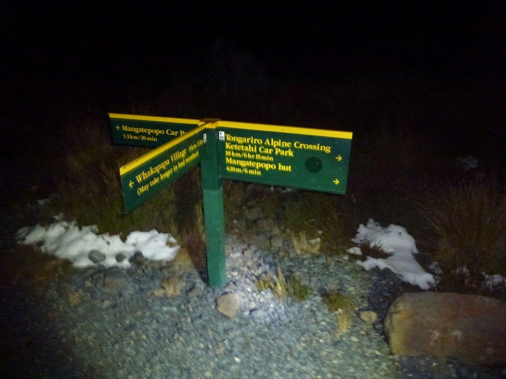
I was reaching the end of my endurance.  After 5 hours walking I was unable to go too far anymore without frequent rests.  This really worried me.  I wasn’t feeling the cold too badly.  By Flo I think was struggling in the below freezing temperatures.  But I had to stop and rest, and she had to shiver beside me.  To the point that after 1.5 hours walking since nightfall even her optimism was failing.  She was getting concerned that we had missed the hut (which we knew was slightly off the track).  I was pretty sure that we couldn’t miss the hut.  The track from Whakapapa Village we were on joined the Tongariro crossing track just before we would reach the hut, and I was sure we couldn’t miss that.  But I was in no mental state to be able to express this in a confident and reassuring way.  So just grunted.  We both started seeing “hut mirages” in the dark, where the snowing outline on the hills looked like the roof of a hut.

Finally my flashlight revealed what I had been wanting to see for a while and I just started laughing.

Hut 6 Minutes away - I took 25!

Hut 6 Minutes away – I took 25!

This raised the spirits considerable, and the track we joined was an expressway compared to what we had come over.  Even from here it took another 25 minutes to get to the hut.  I had to stop twice, and the cold was burning my lungs.  But I could enjoy the rests, and marvel at how beautiful the night was.  It was nearly a full moon, and on this track we could (and did) turn off the torches and walk by moonlight.

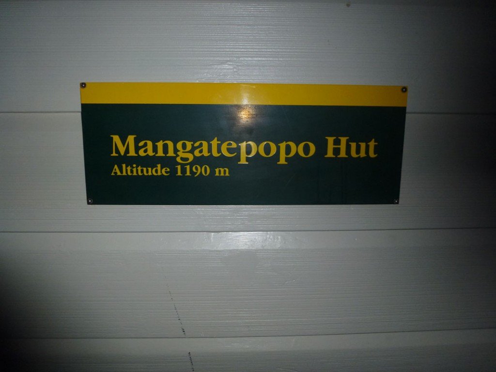
We got to Mangatepopo hut at about 7:30 pm.  6 hours after we started.  It was awesome when we crested a small hill and saw the light flowing out of the hut.  I even broke into a song!  A rather poor rendition of “Poor wayfaring stranger” but it felt appropriate (as if Flo hadn’t suffered enough).

1190 m - glad I didn't walk from sea level

1190 m – glad I didn’t walk from sea level

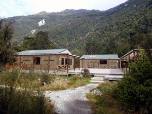
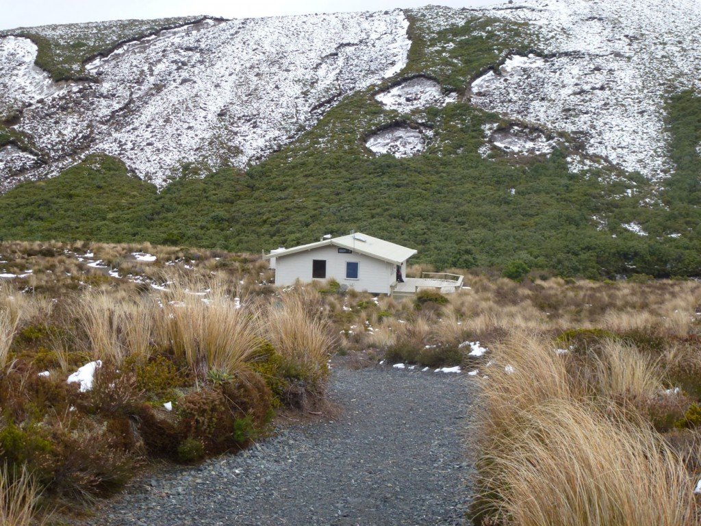
Mangatepopo Hut the next morning

Mangatepopo Hut the next morning

We had already decided that we (I) couldn’t walk back out the next day the way we came.  So one of the reasons I chose this walk was that the hut is actually only 30 mins walk away from a car park.  So I phoned my sister and arranged transportation (in the form of my nephew Doug) to pick us up the next morning and transport us back to the Chateau.  That sucked, I felt like I had failed in my goal of walking there and back again (in good Hobbit tradition) and let Flo down. I could hear the amusement in my sister voice that I had failed (not that she means me harm, but we as a family do delight in the failure of each other) and I couldn’t even face my brother-in-law later that weekend.  All up I am finding it difficult to see this trip as a success.  Probably “Pre-mature” and “Ill advised” would be the best descriptors.

Looking on the bright-side.  My legs didn’t hurt like I expected.  My knees and feet didn’t seize up like I feared they would, so maybe The Plan™ has achieved something.  It will take a few more days to really digest the take-home lessons from this trip.

Track from the Fit-Bit.  It accidentally paused it for about 20 mins and 300 m

Track from the Fit-Bit. It accidentally paused it for about 20 mins and 300 m

© 2024 One Fat Hiker

Theme by Anders NorenUp ↑