Over the past few weeks I have walked the Rimutaka Incline not once, not twice, but thrice! (Cue the applause)
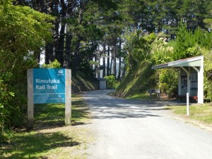
The first expedition was on New Year’s Eve. A friend and I decided to do the full Rimutaka Incline, starting from the Kaitoke (Wellington) end and heading over to the Wairarapa side at Cross Creek. After an initial round of car juggling to ensure we had one car at the end of the track to bring us back, we set off at around 9:00 am.
The Rimutaka Incline (for those not familiar with it) is the path over the Rimutaka Ranges which separates The Wellington and Wairarapa regions. It was carved out as a railway and was used by fell engines as a link between Wellington and the rest of the country. Although it was a steep route for trains, it is quite a gentle grade to walk.
The walk was actually drama free.
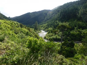
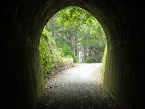
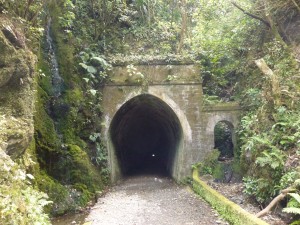
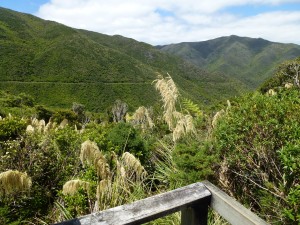
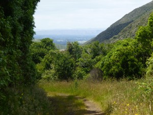
It’s a nice wide and smooth trail which has no major changes to the gradient. It follows a river along and has nice tunnels and bridges and overlooks some lovely landscape. We got to the summit in just over 2 hours and had a brief picnic before heading off again, through the longest of the tunnels at the summit then on to the steady descent.
The path on the Wairarapa side is a bit steeper I think and there is one bit where the old bridge is long since washed out and you have to actually walk down the shallow gorge and up out the other side, but besides that the only drama to be had was once we reached the end at Cross Creak.
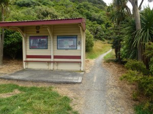
Someone had vandalised the sign which pointed to the path out and we continued on straight until we came to a barrier fence and a sign saying “Private Property”.
We weren’t the only one confused as a couple of cyclists were also scratching their heads as to the way to go. But thorough a process of elimination we realised we needed to follow the much more narrow path out for about 30 minutes.
So in total the crossing was about 20 km (according to my GPS, the signs said 17 km – but they were wrong) and took us 4 hours 4 minutes to walk it (not including rest stops). Actually we only stopped to rest once at the summit.
Psychologically this was a major milestone for me. I had attempted to walk to the summit on a previous occasion years ago, but couldn’t make it and turned back (it turns out we were only about 1.5 km from the summit but didn’t know it). And ever since it has been a bit of a barrier to me, thinking that I couldn’t do this walk. So to knock the bastard off and in relative ease was very liberating.
Since New Year’s Eve I have done the Rimutaka Incline twice more. Once on 12 Jan ’16, where I went after work and walked almost to the summit and back, 16 km (12 Jan ’16 holds The Plan™ record
for longest distance, clocking up 26.5 km of walking), and then again on 17 Jan ’16 where we walked to summit and back, which was 22 km.
That last walk as really given me some concerns. I have come out of that with some significant blisters, an occurrence which seems to be becoming more prevalent. I got blisters on the Waihohonu walk, and again on 12th January effort. But nothing as bad as these babies, which are most painfully on the balls of my feet. I need to develop some anti-blister strategies or my Milford Crossing could become painfully undone. Also I have been suffering more foot pain over the past month. I saw my doctor about it, thinking it is probably my gout playing up, but he thought what I described was more like arthritis. So he sent me for blood tests and x-rays, then texted me this text when he got the results “xray normal, bloos so far all negative for arthritis. Dare I say it, just the weight when exercising” . . . charming.
So quick progress update. So far I have walked 1301.4 km in 299 hours 50 minute. Weight is remaining constantly heavy.
