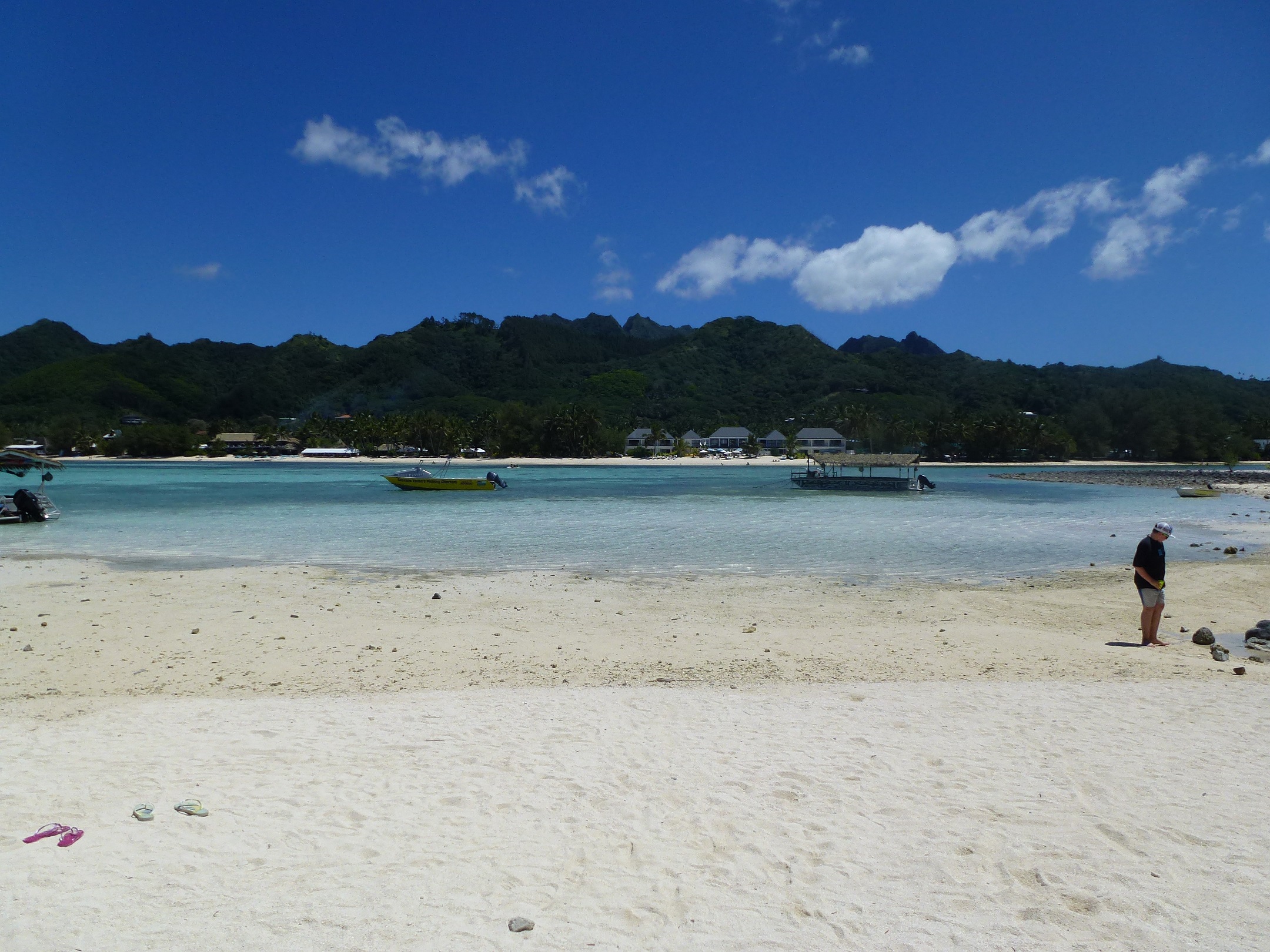
I have actually been able to keep myself quite active while on Holiday. The first proper day here (24th September) I did a 7 km walk (clockwise) along the road and got a good feel for the area around the resort. I picked up a tourist map later on that day and noticed a few hikes on the island. I already knew about the Cross-island Track, but there was one closer to the resort called the Avana Valley Road. I asked the lady at reception about it and was told there was nothing really there, but decided to have a look anyway.
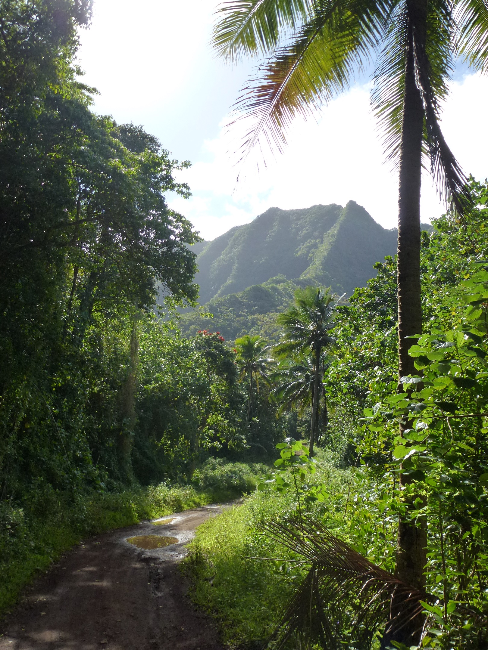
Avana Valley Road walk
It was a pleasant enough walk, just along a road next to a stream. I followed it for about 3.5 km then turned back when I got to a stream crossing I couldn’t accomplish without getting my feet wet.
One of the nice things about walking in Raro is that you never seem to do it alone. There are dogs everywhere who are super friendly and just start walking with you. I had two dogs accompany me up Avana Valley, and every morning I have walked along the beach with a dog walking along beside. Company at the cost of a friendly pat.
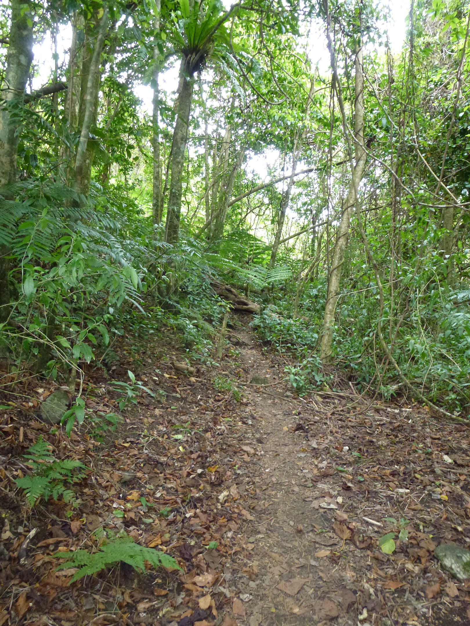
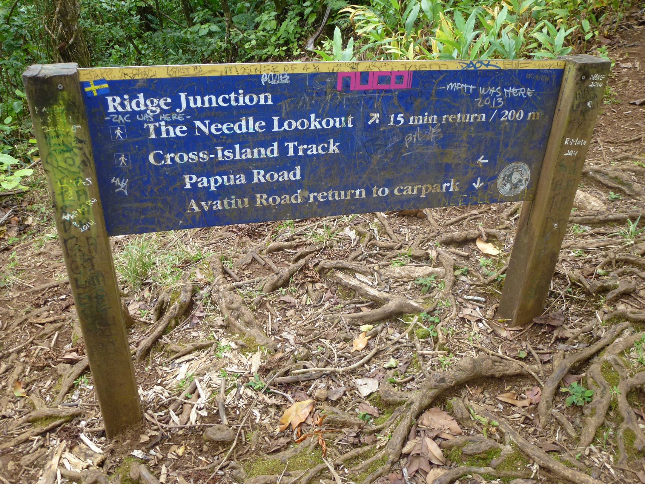
The start of the Across Island Track
Yesterday (25th September) I decided to do the Cross-Island Track. I was told it was about 4 hours, and seeing as the morning guided snorkel had been cancelled due to strong currents, and we had a car to get me to the start of the track, I decided to give it a go.
As we drove up to the start of the track I looked at the rugged and steep terrain with some trepidation. But figured that the track wouldn’t go up those mountains, it would go between them. Wrong.
I got off to an ominous start by walking up someones driveway rather than the private road leading to the track. Oops. Once back on track I was pretty happy; the road was a gentle grade, the weather was pleasant, life was good. I got into the jungle not too far along and the track got narrower and there were several fallen trees I had to scramble under, but so far so good. Then the climb started.
Actually the climb wasn’t too bad. It was steep. Very steep.
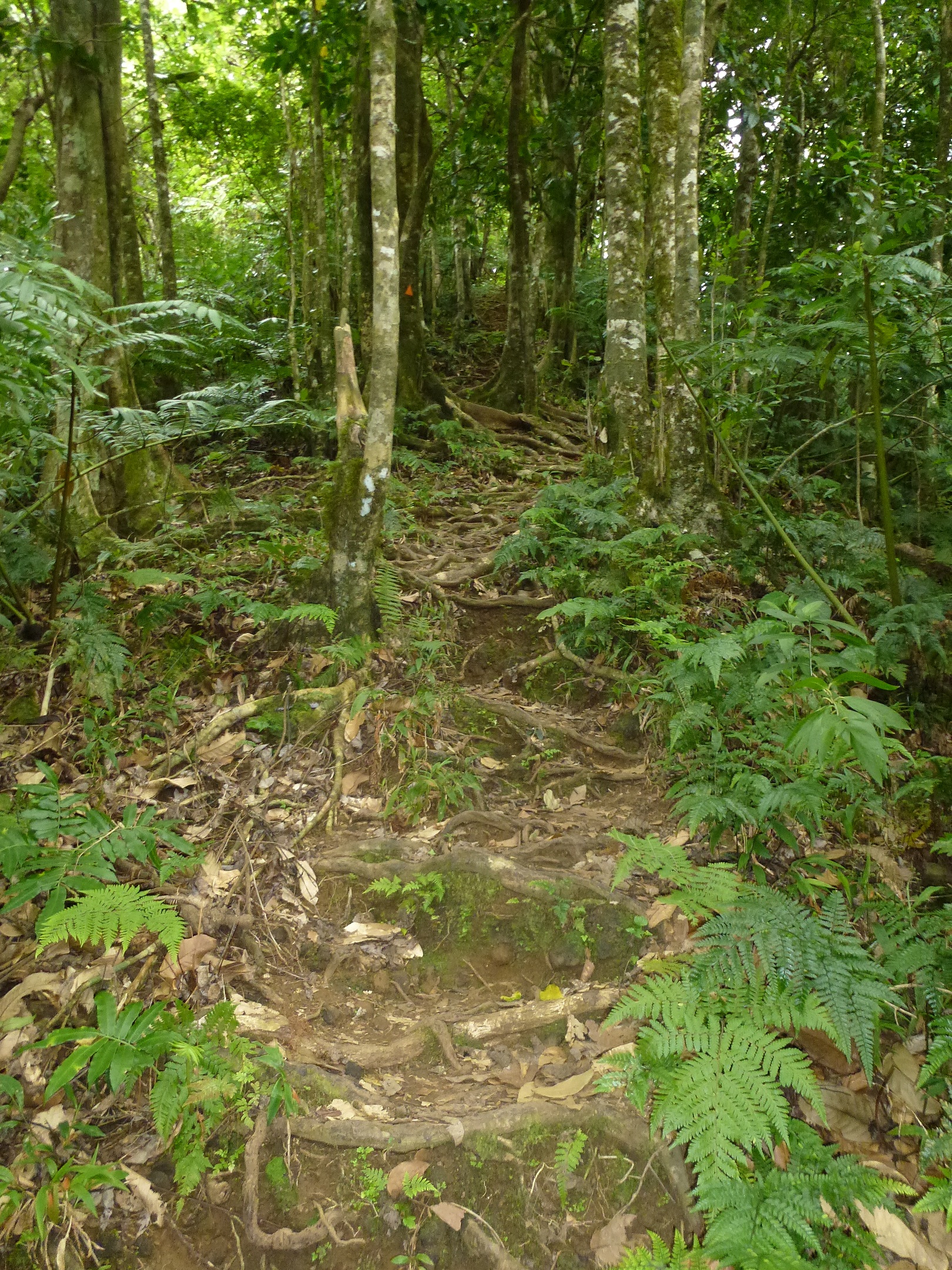
Staircase formed by tree roots
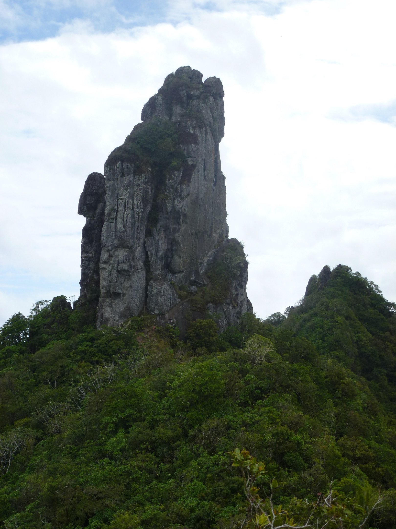
I climbed up about 450m in the space of about 900 m distance, so that is a decent incline. But it was made easier because the climb up was basically a staircase made of tangled tree roots. But after about 2 km and 1 hour walking I was at the saddle. There was a path leading to the Needle (a large monolith which had been a dominant sight for a while), and the path leading down and out. I met another couple walking down from the Needle and asked them about it. It was only 200m further to the Needle, and not too steep. I asked about the track down. I had gotten anxious on the way up about how steep the descent would be, and I hate going down. They had walked a bit of it the day before, but turned back as the recommended route was North to South, and the path from the south is much steeper. Bugger.
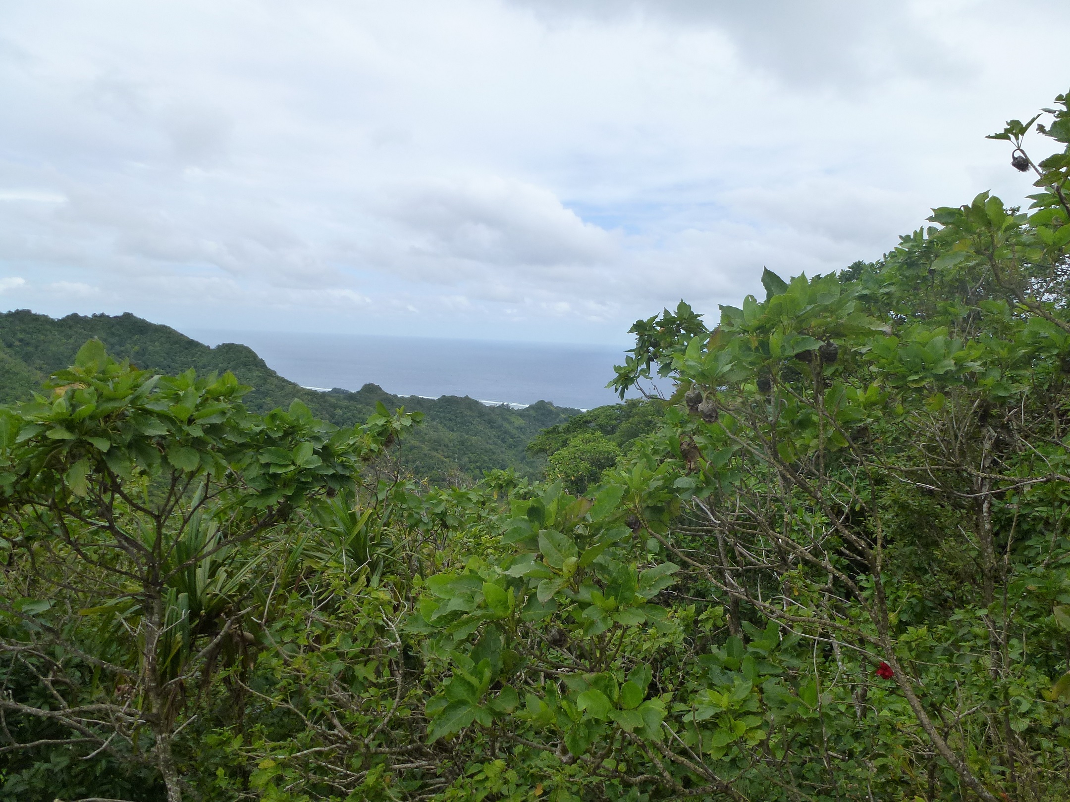
The view from the Needle was stunning, you could see both sides of the island, looking down the valley I had just climbed up, then over to the hell i was about to endure. And I was kept company on the path up to the Needle by a couple of roosters. There is always an animal to follow you around in Rarotonga.
The view to the end of the walk South from the Needle
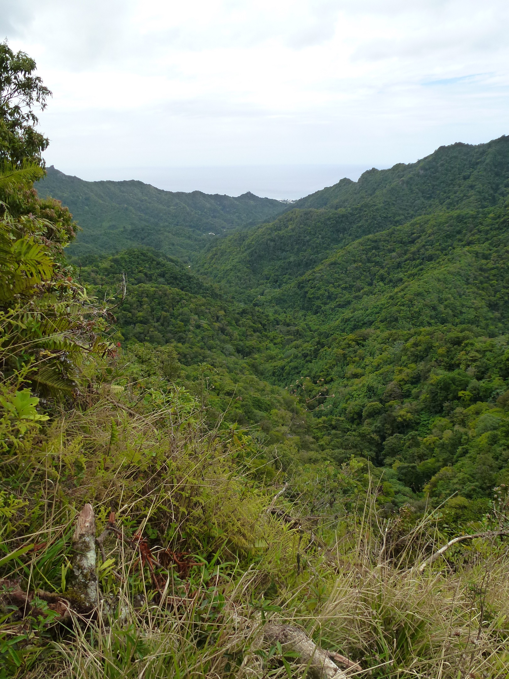
The view down the valley the track climbed to The Needle
With some dread I started the descent from the saddle.
Looking back at The Needle at start of descent
It turned out I still had some way to climb before I started down, but the down came, hard and fast. I looking down the path I could see I started to seriously question my life decisions that had lead me to this point. But figured if I did it slowly and carefully, using the classic Jordan technique of sitting down and sliding down steeper bits rather than try and step down I would be alright (I can’t fall on my ass if I am already sitting on it). There were bits which were so steep that a knotted rope had been tied at them and I was waking backwards, near abseiling down the cliff. All up the steepest part of the descent took about 700 m and 1.5 hours (i’m slow).
At the bottom I came to a stream, and the path followed that on a more gentle grade, there was still the occasional steep up and down, clambering over rocks, and one point, hauling myself up on a rope. The track become one of my favourite forms of hiking, the repeated crossing and recrossing of the same stream, but it was ok and I thought I was almost at the end.
“Almost at the end” lasted for an hour and a half. Then to make things interesting the track became an obstacle course of fallen / low hanging trees and trunks and branches.
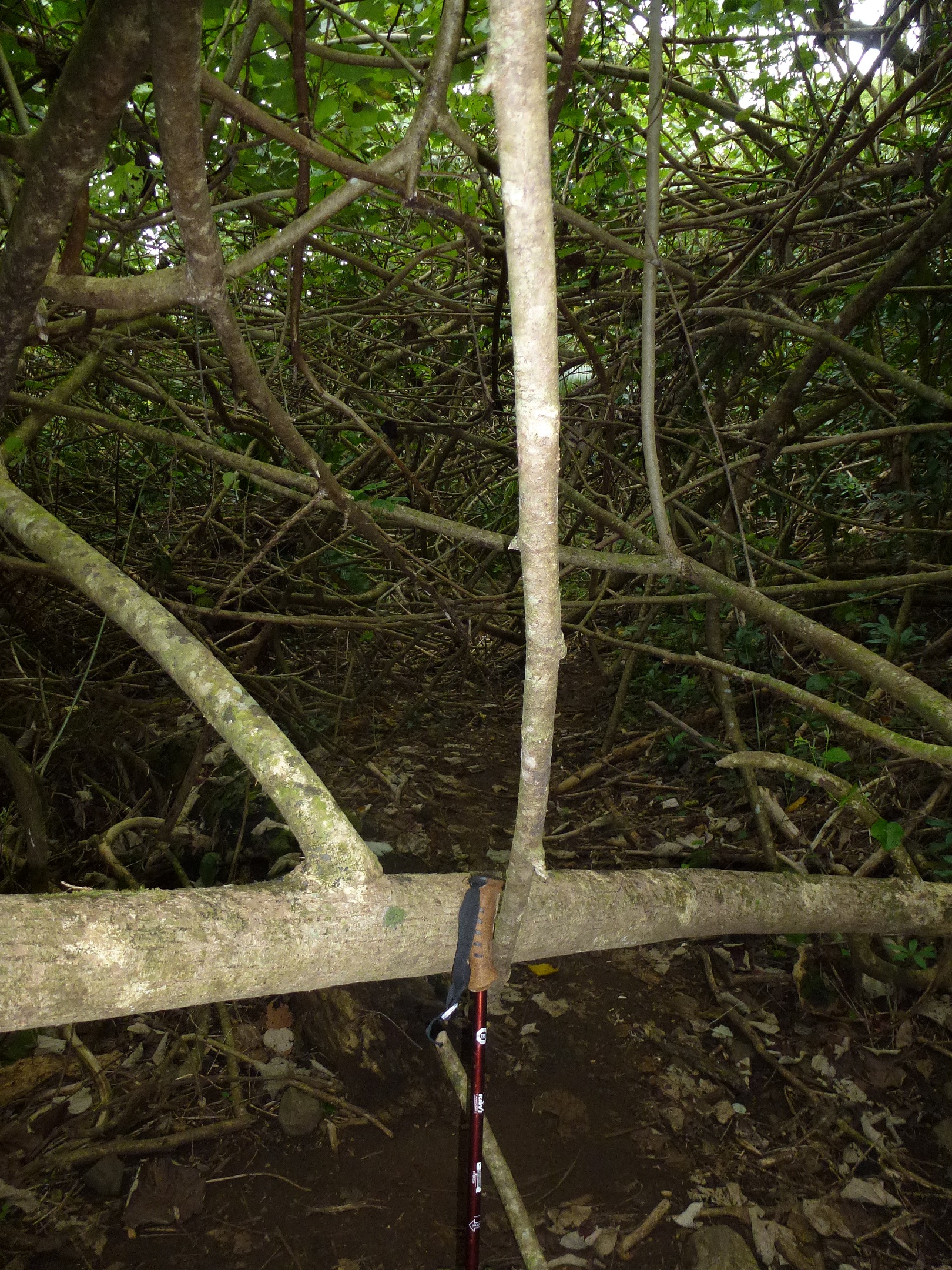
Just to make things interesting
Because that is exactly what my knees wanted after all the clambering down a mountain, was repeated bending and crouching. It was joyous.
Actually I am pretty happy with how well my body held up on this trek. Fitness wise I was good. I got to the top easy enough, it was hard and got the heart going, but my muscles were still fresh. And I hated the down hill, but the knees were fine, and I actually handled it well. It was just confidence and fear of injury that kept me so slow.
The final descent was steep and precarious, the track was narrow and a long drop off the left of the track, so there was a handy “hold on to this to not fall to your death” rope on the right. As I was picking my way down a couple of Rarotongan boys ran past like this was nothing. I felt old and haggard then. But I could see the car park at the bottom, and 10 minutes later I was out!
The end was at the Papua Waterfall, which was dry. 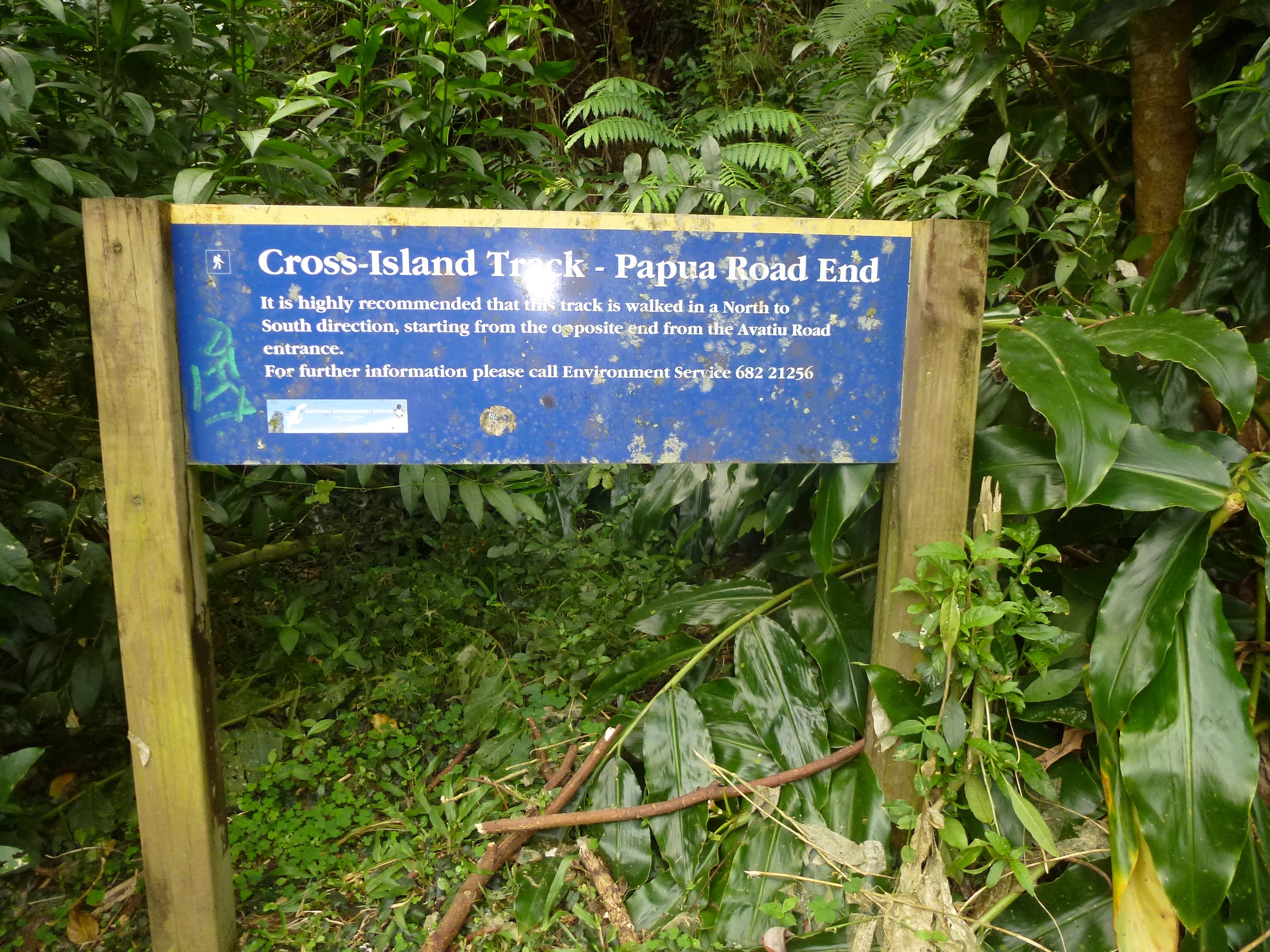 That was disappointing because the photos I had seen looked so good, and I was dreaming of jumping into the call waters at the end of the hike. But there was nothing, just a shallow pond. So I started the walk out down the road back to the coast. That was another 2.5 km to get to where my brother and sister finally picked me up. All up the walk took 4.5 hours and was about 7 km. I am really glad I did it, and the staff at the hotel were impressed so that made me feel good.

The obligatory selfie
I still have a long way to go until I am fit enough for the Milford Track, but this went a lot better than the Mangatepopo walk (which was actually shorter and not as steep). So I think progress is being made.
Just to show you how nice it was.
Wowee !!!
Thank you for the postcard. xx
xx
Hello my name is Mahue. I live in Rarotonga and have been here for a good 6 years. I’ve been up the Avana track. The lady at reception obviously hadn’t explored it. I went up there with 3 of my friends when I was 15 and one of them was from the area and he knew the track really well. Throughout the walk there are 3 waterfalls that are hidden but not too far off the track. You’d need someone like him to show you. Someone who knows the land well. He had gone up there tons of times with his family so he was very familiar with it. Throughout the entire walk there are 20 streams you cross (they’re all the same stream going zigzag down the track from the top). When you reach the top you come to an intake and then start your way back down. Going with my friends was load’s of fun and the further we went the more we appreciated and felt proud that we were from such a beautiful island. It was a gorgeous sunny day. Having company is definitely something you should consider when going on that walk because it’s way too lonely by yourself. Next time you come to Rarotonga hopefully you’ll get to explore that track more. I enjoy your blog.
Thanks. This reply has been a long time coming. I was back in Rarotonga last year on honeymoon . . . we didn’t walk that track – I am nowhere near fit enough to do it now!